QUESTION: “I would like to highlight serious issues with mapping in Land Direct. We have been in contact with staff there, for over three years and after a long battle they corrected two digital errors but it has come to our attention that there are still at least two more. We sent in maps from engineers but they have refused to correct them.
This is the reply we received by email: ‘As a result of previous investigation, the registered boundaries of the property are now in accordance with the documents submitted for registration. A formal application with the consent of the respective owners or an order of the court would be required to alter the registered boundaries of the properties.’
I have two maps which clearly show the errors but they won’t even look at them. All this came to light when my sister died suddenly. Four months later, a certain person started knocking walls saying he owned her property. These mistakes have cost us a lot emotionally and financially. We could write a book.
You need to highlight this in your paper as this cannot continue costing thousands of euros to get errors rectified.”
AISLING ANSWERS: I am sorry to hear about the position you have found yourself in and thank you for highlighting the matter. Yes, it is certainly an issue I come across a lot in my practice.
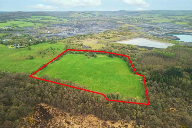
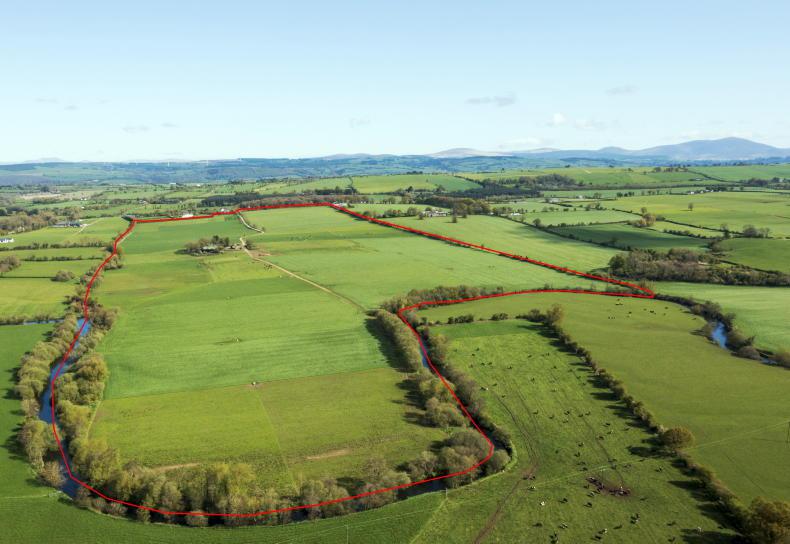
It is important that all farmers review their title including maps on the Land Registry website (landdirect.ie) to ensure that there are no mapping discrepancies. If there are, at least they have an opportunity to correct them.
Properties, not boundaries
The Property Registration Authority of Ireland (PRAI) is the registering authority for property in Ireland. The title shown on the folio is guaranteed by the State. Consequently, the Land Registry has to compensate anyone who suffers loss though a mistake made by them.
However, it is important to note that the registry map identifies properties not boundaries. Every map has a note that says: “the description of the land on the registry map shall not be conclusive as to the boundaries or extent of the land”.
So, the precise line of the property boundary is undetermined.
This is called the general boundary rule, which means that the title to registered property is qualified, in that the state guarantee does not extend to boundaries.
Electronic maps
In 2005, the Land Registry announced that all existing paper-based maps would be converted into electronic form over a five-year period. The mapping project was completed by August 2010, with all 26 counties fully digitised.
While the digital mapping project now provides easy access to data, landowners cannot take the new digitised PRAI boundaries at face value, as the system is known as a non-conclusive boundary system.
This means that they will not indicate whether a title boundary includes a hedge or ditch running along the centre of a wall or fence. Neither does it indicate whether or not the land registered includes the whole or any portion of an adjoining road or stream.
Responsibility for the accuracy of the areas and boundaries rests with the applicant i.e. the landowner. So landowners need to rely on their own original maps to determine where the actual boundaries physically lie on the ground.
Errors and compensation claims
If it is noticed that an error has been made either in the register or the land registry map, this should be brought to the attention of the Land Registry immediately, who will examine the matter, as you have done. Rectification of the error can be done by: consent of the parties; a deed of rectification; a deed of transfer; or as a last resort, by court order.
So the first scenario is that the Land Registry may rectify the error after giving notices to the affected parties, if they are of the opinion that it can be rectified without loss to any person. However, if that’s not the case and the error can’t be sorted by consent, then it may be rectified by the court. In your situation, as the person suffering loss for the error in the register or in the registration maps made by the PRAI, you may file a formal application for compensation to the Land Registry. This is done by completing Form 98 of the Land Registration Rules, 2012. In this situation, the loss must be provided. The procedure in filing these claims is set out in rules 184 and 185 of the Land Registration Rules 2012
Adverse possession
If the adjoining owner i.e. your neighbour is not prepared to consent to the change in maps, then you do have options. For example, it may be possible to have your interest in the land registered by making a claim for adverse possession. This is commonly known as ‘squatters rights’, assuming that you have been using this land exclusively for your own use and without objection from the adjoining owner for in excess of 12 years.
If you have to bring the case to court to establish your title to the property and if you are successful, it is likely that a costs order may be awarded against the adjoining owner. Essentially, this means they will have to foot the bill for both your legal costs, and their own.
So this can be used as a bit of a carrot and stick with your neighbour. The risk of having to pay both sets of legal costs may force them to resolve the dispute amicably. So the first place to start is crossing over that boundary line and having a chat with them.
Disclaimer: The information in this article is intended as a general guide only. While every care is taken to ensure accuracy of information contained in this article, Aisling Meehan, Agricultural Solicitors does not accept responsibility for errors or omissions howsoever arising. Email ameehan@farmersjournal.ie
Read more
Irish Cancer Society calls for public support this Daffodil Day
Editorial: a St Patrick's Day parade to remember
QUESTION: “I would like to highlight serious issues with mapping in Land Direct. We have been in contact with staff there, for over three years and after a long battle they corrected two digital errors but it has come to our attention that there are still at least two more. We sent in maps from engineers but they have refused to correct them.
This is the reply we received by email: ‘As a result of previous investigation, the registered boundaries of the property are now in accordance with the documents submitted for registration. A formal application with the consent of the respective owners or an order of the court would be required to alter the registered boundaries of the properties.’
I have two maps which clearly show the errors but they won’t even look at them. All this came to light when my sister died suddenly. Four months later, a certain person started knocking walls saying he owned her property. These mistakes have cost us a lot emotionally and financially. We could write a book.
You need to highlight this in your paper as this cannot continue costing thousands of euros to get errors rectified.”
AISLING ANSWERS: I am sorry to hear about the position you have found yourself in and thank you for highlighting the matter. Yes, it is certainly an issue I come across a lot in my practice.
It is important that all farmers review their title including maps on the Land Registry website (landdirect.ie) to ensure that there are no mapping discrepancies. If there are, at least they have an opportunity to correct them.
Properties, not boundaries
The Property Registration Authority of Ireland (PRAI) is the registering authority for property in Ireland. The title shown on the folio is guaranteed by the State. Consequently, the Land Registry has to compensate anyone who suffers loss though a mistake made by them.
However, it is important to note that the registry map identifies properties not boundaries. Every map has a note that says: “the description of the land on the registry map shall not be conclusive as to the boundaries or extent of the land”.
So, the precise line of the property boundary is undetermined.
This is called the general boundary rule, which means that the title to registered property is qualified, in that the state guarantee does not extend to boundaries.
Electronic maps
In 2005, the Land Registry announced that all existing paper-based maps would be converted into electronic form over a five-year period. The mapping project was completed by August 2010, with all 26 counties fully digitised.
While the digital mapping project now provides easy access to data, landowners cannot take the new digitised PRAI boundaries at face value, as the system is known as a non-conclusive boundary system.
This means that they will not indicate whether a title boundary includes a hedge or ditch running along the centre of a wall or fence. Neither does it indicate whether or not the land registered includes the whole or any portion of an adjoining road or stream.
Responsibility for the accuracy of the areas and boundaries rests with the applicant i.e. the landowner. So landowners need to rely on their own original maps to determine where the actual boundaries physically lie on the ground.
Errors and compensation claims
If it is noticed that an error has been made either in the register or the land registry map, this should be brought to the attention of the Land Registry immediately, who will examine the matter, as you have done. Rectification of the error can be done by: consent of the parties; a deed of rectification; a deed of transfer; or as a last resort, by court order.
So the first scenario is that the Land Registry may rectify the error after giving notices to the affected parties, if they are of the opinion that it can be rectified without loss to any person. However, if that’s not the case and the error can’t be sorted by consent, then it may be rectified by the court. In your situation, as the person suffering loss for the error in the register or in the registration maps made by the PRAI, you may file a formal application for compensation to the Land Registry. This is done by completing Form 98 of the Land Registration Rules, 2012. In this situation, the loss must be provided. The procedure in filing these claims is set out in rules 184 and 185 of the Land Registration Rules 2012
Adverse possession
If the adjoining owner i.e. your neighbour is not prepared to consent to the change in maps, then you do have options. For example, it may be possible to have your interest in the land registered by making a claim for adverse possession. This is commonly known as ‘squatters rights’, assuming that you have been using this land exclusively for your own use and without objection from the adjoining owner for in excess of 12 years.
If you have to bring the case to court to establish your title to the property and if you are successful, it is likely that a costs order may be awarded against the adjoining owner. Essentially, this means they will have to foot the bill for both your legal costs, and their own.
So this can be used as a bit of a carrot and stick with your neighbour. The risk of having to pay both sets of legal costs may force them to resolve the dispute amicably. So the first place to start is crossing over that boundary line and having a chat with them.
Disclaimer: The information in this article is intended as a general guide only. While every care is taken to ensure accuracy of information contained in this article, Aisling Meehan, Agricultural Solicitors does not accept responsibility for errors or omissions howsoever arising. Email ameehan@farmersjournal.ie
Read more
Irish Cancer Society calls for public support this Daffodil Day
Editorial: a St Patrick's Day parade to remember


SHARING OPTIONS