

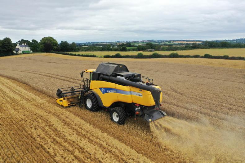
European Commission officials toured Ireland this week with the Department of Agriculture on a mission to compare certain land parcels with satellite imagery.
Farmers were notified by the Department of Agriculture in Portlaoise that their land parcels had been selected for review by the Irish and Brussels authorities.
The farmers were invited to meet the delegation of eight or more officials on their land but they were not required to meet them.
Physical parcels
It is understood the officials wanted to compare the physical land parcels with the satellite imagery available for each parcel. More farm inspections have been completed using satellite imagery in recent years and this trend is set to continue.
Land eligibility checks
As revealed by the Irish Farmers Journal, 6,213 of the 7,111 land eligibility checks carried out by the Department of Agriculture last year were carried out by satellite, while just 898 were on-the-ground inspections.
The European Commission has indicated that satellites will play a bigger role in the next Common Agricultural Policy (CAP), while the Department of Agriculture recently tendered for new satellite systems to be integrated into the inspection process under direct payment schemes.
Inspections clampdown: farmers fall foul of cross-compliance rules
Cross-compliance inspections 10 times more common in some counties


SHARING OPTIONS