

Met Éireann has downgraded its red level warning to orange in the counties worst affected by Storm Emma.
Its latest weather outlook is an orange level snow and ice warning for Munster, Leinster, Cavan and Monaghan on Saturday.
There will be some snow this morning in these areas, and widespread treacherous surfaces due to ice and lying snow.
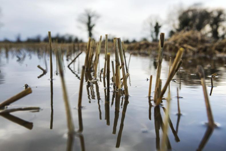
Rain will begin to spread from the south on Saturday and this will start the melting process, leading to potential flooding.
A status yellow snow and ice warning is in place for Connacht and Donegal, where Met Éireann is predicting more snow on Saurday. It is warning of treacherous surfaces due to ice and lying snow.
Saturday afternoon
Snow will turn to sleet and rain later this morning. In the afternoon, the rain could turn heavy in the east and south, giving a risk of localised flooding due to melting snow. Temperatures will stay around freezing in northern parts but further south they will rise to values between 3°C and 6°C in the afternoon.
Easterly winds will be moderate to fresh, but still strong along the east coast.
Saturday night
Met Éireann is forecasting further outbreaks of rain, with some sleet or snow on high ground. Lowest temperatures of 0°C to 3°C in light to moderate easterly winds.
Sunday
There will be outbreaks of rain as well on Sunday, heavy at times with further melting of snow, and an ongoing risk of flooding as a result.
On high ground the rain may turn to snow again for a time. Highest temperatures of 4°C to 7°C, but a few degrees lower on high ground.
Winds will be mainly light from the east or northeast.
Time to knock in to elderly neighbours
Storm Emma: milk collection and co-op stores latest
Storm Emma: list of factories, marts and events cancelled
Dairy calves: 'There is no doubt but further losses will follow'
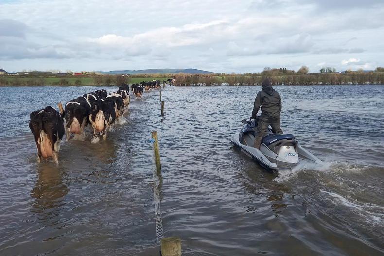
Storm Emma: its effects across the country

SHARING OPTIONS