

Monday
Monday will bring showers and longer spells of rain in places.
There will be dry and sunny spells in between during the day. Highest temperatures will range from 11°C to 14°C.
Long clear spells will develop in many areas on Monday night.
It will become cloudier in the southwest, with rain developing here as the night progresses.
Lowest temperatures will range from 3°C to 7°C.
Tuesday
It will remain cloudy, with patchy outbreaks of rain in the southwest.
Elsewhere it will be drier and brighter, with just isolated showers, mostly over Ulster.
It will become mostly dry and clear across the country through the evening.
Highest temperatures will range from 12°C to 15°C.
It will be mostly dry and clear, with just the chance of coastal showers in Ulster and north Connacht on Tuesday night.
Lowest temperatures will range from 3°C to 6°C.
Wednesday
Wednesday will see dry and sunny weather in most areas.
Ulster, however, will see more cloud, with occasional patchy rain in the morning. It will be a warmer day, with highest temperatures of 13°C to 17°C.
The night will continue dry, with lowest temperatures of 4°C to 7°C.
Mist and fog patches may form also as light variable breezes fall calm locally.
Thursday
It is forecast to be mostly dry, with hazy sunshine over much of the country on Thursday.
Cloud will gradually increase from the west from late morning, with rain following into western fringes through the afternoon and evening hours. Highest temperatures will range from 15°C to 19°C.
Rain
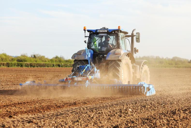
Over the past week, rainfall accumulations have been well above average over much of the country.
Two to four times the average rainfall was recorded in Munster and much of Leinster.
Connacht had 150% to 250% of average, with Ulster the driest with 81% to 150% of average.
Much of the expected rainfall for this week fell over the weekend, with the early part of the week to bring the reminder.
The southwest is expected to receive the most rainfall.
Temperatures
It has been a cool week, with below-average temperatures nationwide.
Air temperatures this past week have averaged between 9°C and 10°C, which is 1°C to 2°C below average.
Soil temperatures, in contrast, were average, ranging from 10.5°C to 13.5°C.
Air temperatures are expected to remain near average or slightly below over the coming week, starting off cooler and improving as the week progresses. Soil temperatures will likely remain similar early in the week, improving towards the weekend.
Sunshine
Sunshine amounts over the past week have been below average. Most places recorded between 70% and 100% of average sunshine.
Most areas will see above average sunshine hours this coming week.
However, a generally cloudier picture in the southwest during the middle of the week may result in below-average sunshine.
Drying and spraying conditions
Drying conditions will be poorest in the southwest in the week ahead.
Tuesday and Wednesday looks to be somewhat drier day away from the southwest and northeast.
Winds will not aid much drying.
Thursday sees a return to rain, with warmer drier conditions expected towards the end of the period improving drying countrywide.
Spraying conditions look best on Tuesday and Wednesday away from the southwest and northeast.
The best spraying conditions will arrive towards the end of the week.
SHARING OPTIONS