

The status yellow warning of high winds has been issued for counties Donegal, Galway, Leitrim, Mayo, Sligo, Clare, Cork, Kerry and Limerick and will last from 9am to 9pm on Monday.
A status yellow warning is Met Éireann's least severe weather warning however, gusts could reach as high as 100km/h to 110 km/h on Monday afternoon.
Overall, it is looking like another week of broken and unsettled weather according to the latest forecasts from Met Éireann. Temperatures, though, are expected to be higher than recent times.
Any lingering rain from Sunday night will clear eastwards as Monday progresses which is expected to leave bright sunshine for most of the day. However, heavier spells of rain are expected to spread from the west later in the day.
Tuesday will see a mixture of sunshine and some heavy showers as well as blustery, strong winds.
Wednesday will see heavy spells of rain spread from the south with the east of the country expected to be worst affected.
At this stage, Thursday looks like being the best day of the week with large periods of sunshine and dry spells. Temperatures could reach as high as 18 degrees Celsius. However, it is again looking like further heavy rain spreading on Friday.
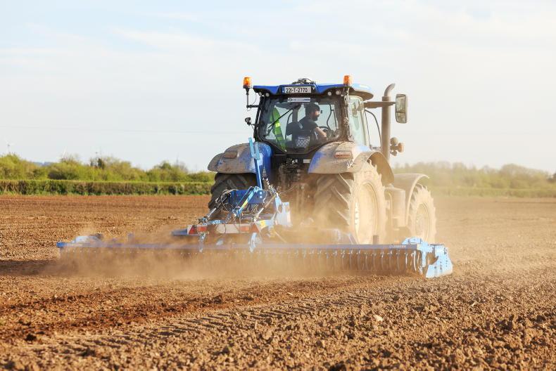
The rain continues to cause disruption to the harvest while ground conditions in the west of the country remain testing.


SHARING OPTIONS