

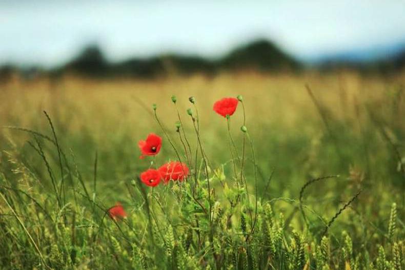
After a weekend of incredible sunshine and temperatures, we are facing into a more unsettled week ahead. Local temperatures reached as high as 17°C and 18°C on Sunday, making it the warmest day of the year so far.
Monday will be mainly dry again. There is only a slight risk of light drizzle along south and southwest coasts. Temperatures will reach as high as 14°C, with lowest temperatures ranging from 4°C to 6°C.
The weather will start to deteriorate from Tuesday. While temperatures will range between 11°C and 14°C, most places will see some volume of rain. Some heavy and persistent rain is forecast to spread in from the southwest.
Heavier and more persistent spills of rain are forecast on Wednesday, Thursday and Friday. All areas are expected to receive large volumes of rain. Temperatures will reach highs of 12°C during the day with lows of 4°C to 5°C at night.
From the weekend onwards, the early indications suggest we will see a return to warmer and more settled conditions.
Rain
There were heavy spells of rain in the north and northwest during the week, with parts of the midlands and east on the receiving end of some snow. As much as 10cm of snow was recorded in parts of the east on Tuesday night into Wednesday morning.
The eastern half of the country saw heavy spells of rain on Wednesday night also.
After Thursday, the country was almost totally dry.
Temperatures
Temperatures were in the single figures for most of last week, well-below the normal monthly rates. Wintery conditions saw temperatures between 2°C and 4°C.
Saturday and Sunday recorded the highest temperatures of the year so far. The mercury rose to local highs of 17°C or 18°C. The coming week will see temperatures drop back to more normal temperatures of 13°C or 14°C.
Drying conditions
Even the heaviest and most saturated soils dried out well over the weekend. However, the heavy rain forecast for Wednesday, Thursday and Friday will set those soils back. The rain will have little impact on the drier and better ground.
SHARING OPTIONS