

It will be a bright and dry start to this week, with patches of cloud and sunshine on Monday. There is a chance of some light showers, but these will remain largely isolated. Highest temperatures will vary from 14°C to 16°C in a light breeze.
Monday night will remain cool and dry, but some patches of mist may develop, along with some fog. Along the western coast, cloudy patches will progress to drizzle. Lowest temperatures will remain between 7°C and 10°C, in a light southwesterly breeze.
Tuesday will be a mainly dry day in most areas, with some sunshine expected in eastern counties. Western and northern areas will remain cloudy, with rain and drizzle possible near the coast and on higher ground. Highest temperatures will vary from 15°C to 17°C. South to southwest winds will be light to moderate or fresh along the western coast.
Overnight on Tuesday will remain dry in the midlands and in eastern areas, but patches of rain may develop in the west. Strong southerly winds may occur along the western coast in addition to the showers.
Wednesday morning will be mainly dry in the east and the midlands, but the rain from Tuesday night will spread eastwards over the course of the day. The rain will clear in the afternoon and winds will ease to leave a cool afternoon. Highs of 14°C to 16°C are expected, with a fresh to strong south to southeast wind, which will gradually become moderate to fresh later on.
Conditions will remain largely similar for Thursday. Sunny spells are expected, but showers will become widespread and heavier over time. There is also a risk of isolated thunderstorms in the northwest. The day will remain cool, with highs of 13°C to 16°C expected, along with blustery southwest to west winds.
A milder day is in store for Friday. The midlands and eastern areas will stay dry, but scattered showers may affect areas in the north, west and along the southern coast. Sunny spells will develop in eastern areas and winds will become southerly. Highest temperatures of 16°C to 17°C are expected in a fresh and gusty southerly wind.
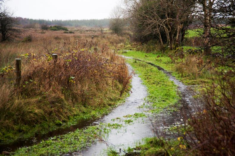
Rain
Rainfall accumulations for the month of September have been mainly variable, due to both a mix of heavy rainfall and sunshine. The last seven days were drier than average, apart from the midlands and southwest. Eastern regions received less than half of the usual rainfall amount. The lowest accumulation level was in Dublin, with 2.9mm recorded. Coastal areas in Cork and Kerry received the highest amount, at 35mm. For the week ahead, rainfall will again be unsettled and variable. Rainfall is expected to be above normal in the west, but lower than the average in other parts of the country.
Temperature
Temperatures over the last week were in and around the seasonal average for this time of the year. Soil temperatures were anywhere between 1°C and 3°C above the norm. Temperatures for the week ahead are again expected to be average.
Sunshine
Sunshine levels were below average for the past week, particularly in the southern half of the country. Areas along the south coast received only half of the sunshine average, due to the foggy conditions.
Drying conditions
Conditions over the week ahead will also be variable, with a continuous pattern of wet weather and dry weather expected.
Spraying
Spraying conditions will be moderate, but the wet and windy weather expected will make spraying conditions unsuitable.
Field conditions
Light and medium soils, as well as poorly drained soils in the east, are all trafficable. Poorly drained soils in other areas will more than likely be close to saturation. As the week ahead looks set to be wet, soils are again at a risk of saturation.


SHARING OPTIONS