

According to Met Éireann, the weather is set to be fairly mixed over the weekend, with dry weather in most parts of the country on Saturday giving way to heavy rain during the day and evening on Sunday.
Today (Friday) will start off mainly dry in the east and southeast, with rain and drizzle further west. This rain will be heavy at times and will spread to all areas this afternoon. However, it is due to brighten up in the west this evening. Highest temperatures of 14C to 17C with moderate to fresh south to southwest breezes.
Saturday will bring a good deal of dry weather with some sunny breaks. Connacht and Ulster, though, will see some showers. Outbreaks of rain or drizzle will move up over Munster and south Leinster in the afternoon and early evening. Highest temperatures of 15 to 18C with mostly moderate southwest breezes.
Saturday night will be cloudy with rain developing in the west and spreading eastwards through the night. The rain will be heaviest for western coastal counties. Lowest temperatures expected of between 9C to 12C.
Sunday will see persistent and prolonged rain affect the western half of the country during the day and evening with heavy falls in Atlantic coastal counties. Although the east will see some dry intervals, it will be cloudy with outbreaks of rain and drizzle. Highest temperatures of between 14 to 18C, coolest over Ulster.
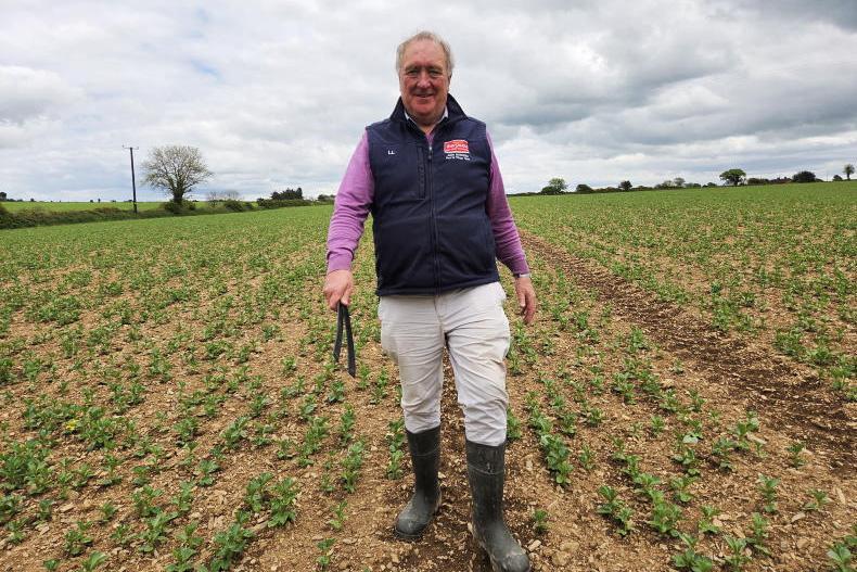
Our tillage editor Andy Doyle writes that the broken weather is making winter barley harvesting difficult and straw is beginning to break down in some crops. To read more from Andy on tillage management this week, click here.
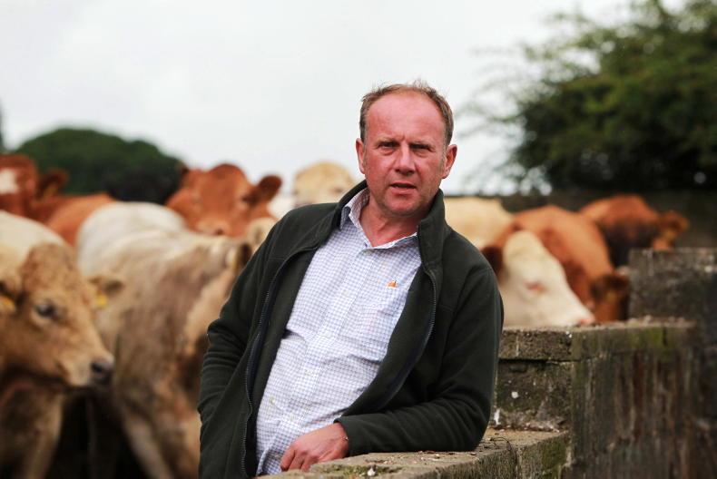
Our dairying specialist Aidan Brennan writes that the torrential weather in the west and north has made grazing very difficult. To read Aidan's view on whether this is a good year to spend on grazing infrastructure to faciliate grazing in these conditions, click here.
And to read Darren Carty's top tips for grazing in difficult conditions click here.
SHARING OPTIONS