Chill out everyone: It's not looking a lot like snow this weekend after all
Although temperatures will drop significantly over the next few days comparable to what we have been experiencing over the past week, Met Éireann says that hail and sleet is more likely than snow.
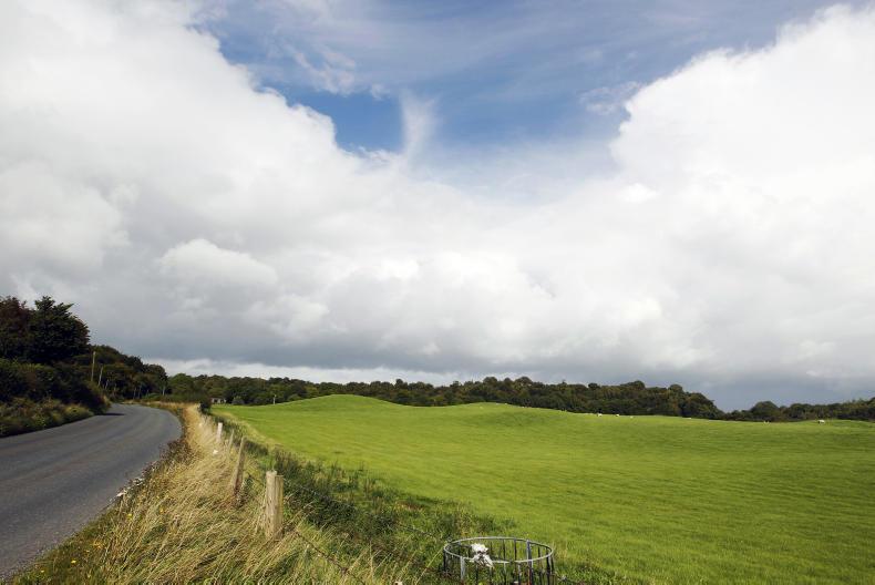
The sleet forecast for the weekend is likely make tricky conditions for using a tractor
ADVERTISEMENT
A spokesperson from Met Éireann said that although there have been reports of snow in the media, hail and sleet are more likely over the weeekend and early next week.
Saturday
The rain from tonight will linger into Saturday morning and push southwards, clearing in the north of the country. It will be become much cooler with the clearance in this part of the country with temperatures of just 9C or 10C. However, the south of the country will enjoy temperatures more like what we've been seeing over the past week, at 14C to 15C.
ADVERTISEMENT
Sunday
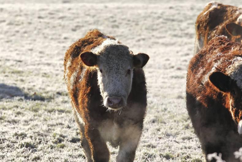
Although it will be dry in many places, Sunday will see much colder temperatures with the showers that do occur potentially turning into hail or sleet over higher ground.
Afternoon temperatures will be 9C or 10C at best. With the added wind chill factor it will feel very cold and Sunday night will be colder still with temperatures well below freezing nationwide.
Monday
Monday currently looks to be the coldest of the coming days, with moderate to fresh westerly winds and widespread heavy showers, again possibly turning into sleet or hail along the western half of the country. Temperatures again below freezing overnight but the winds will ease and the wintry showers will become confined to western and northwestern coasts.
Register for free to read this story and our free stories.
This content is available to digital subscribers and loyalty code users only. Sign in to your account, use the code or subscribe to get unlimited access.
The reader loyalty code gives you full access to the site from when you enter it until the following Wednesday at 9pm. Find your unique code on the back page of Irish Country Living every week.
CODE ACCEPTED
You have full access to the site until next Wednesday at 9pm.
CODE NOT VALID
Please try again or contact support.
A spokesperson from Met Éireann said that although there have been reports of snow in the media, hail and sleet are more likely over the weeekend and early next week.
Saturday
The rain from tonight will linger into Saturday morning and push southwards, clearing in the north of the country. It will be become much cooler with the clearance in this part of the country with temperatures of just 9C or 10C. However, the south of the country will enjoy temperatures more like what we've been seeing over the past week, at 14C to 15C.
Sunday
Although it will be dry in many places, Sunday will see much colder temperatures with the showers that do occur potentially turning into hail or sleet over higher ground.
Afternoon temperatures will be 9C or 10C at best. With the added wind chill factor it will feel very cold and Sunday night will be colder still with temperatures well below freezing nationwide.
Monday
Monday currently looks to be the coldest of the coming days, with moderate to fresh westerly winds and widespread heavy showers, again possibly turning into sleet or hail along the western half of the country. Temperatures again below freezing overnight but the winds will ease and the wintry showers will become confined to western and northwestern coasts.
If you would like to speak to a member of our team, please call us on 01-4199525.
Link sent to your email address
We have sent an email to your address. Please click on the link in this email to reset your password. If you can't find it in your inbox, please check your spam folder. If you can't find the email, please call us on 01-4199525.
ENTER YOUR LOYALTY CODE:
The reader loyalty code gives you full access to the site from when you enter it until the following Wednesday at 9pm. Find your unique code on the back page of Irish Country Living every week.


SHARING OPTIONS