After a seven-year lapse, the Central Statistics Office (CSO) returned to recording agricultural land values in 2013.
The organisation had been actively involved in collating national and regional land values throughout the 1990s and into the early 2000s. It became a critical source of information for land price trends over a 16-year period, from 1990 to 2005.
The CSO recommenced land data recording in 2013. It uses data from the Revenue Commissioner’s stamp duty returns to calculate both the median and mean price of land sold.
To determine land type, it also uses data from the Property Registration Authority of Ireland, An Post Geo Directory and the Census of Agriculture 2010.
This puts the CSO in an extremely favourable position in terms of having access to a huge volume of land sales information, which is not made available to the public.
In 2015, the CSO used a total of 2,500 transactions to calculate the average value of land in each region. This is a phenomenon number of transactions and allows for hugely reliable results.
Figures for 2015 were only recently released by the CSO which indicates that the national median price paid for land in Ireland in that year was €6,615/acre, slightly down from €6,760/acre in 2014.
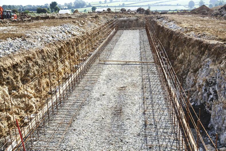
A total of 51,544 acres sold across the country, worth a combined value of €304.5m. Supply was back 8.4% on 2014 when 56,273 acres sold – the 2015 supply figure is more in line with 2013 levels. The average transaction size in 2015 was 20.6 acres.
For more, see this week’s property pages in the Irish Farmers Journal.
Read more
Value of large farms fall by 20% in Munster
A roundup of some of the land for sale this week
After a seven-year lapse, the Central Statistics Office (CSO) returned to recording agricultural land values in 2013.
The organisation had been actively involved in collating national and regional land values throughout the 1990s and into the early 2000s. It became a critical source of information for land price trends over a 16-year period, from 1990 to 2005.
The CSO recommenced land data recording in 2013. It uses data from the Revenue Commissioner’s stamp duty returns to calculate both the median and mean price of land sold.
To determine land type, it also uses data from the Property Registration Authority of Ireland, An Post Geo Directory and the Census of Agriculture 2010.
This puts the CSO in an extremely favourable position in terms of having access to a huge volume of land sales information, which is not made available to the public.
In 2015, the CSO used a total of 2,500 transactions to calculate the average value of land in each region. This is a phenomenon number of transactions and allows for hugely reliable results.
Figures for 2015 were only recently released by the CSO which indicates that the national median price paid for land in Ireland in that year was €6,615/acre, slightly down from €6,760/acre in 2014.
A total of 51,544 acres sold across the country, worth a combined value of €304.5m. Supply was back 8.4% on 2014 when 56,273 acres sold – the 2015 supply figure is more in line with 2013 levels. The average transaction size in 2015 was 20.6 acres.
For more, see this week’s property pages in the Irish Farmers Journal.
Read more
Value of large farms fall by 20% in Munster
A roundup of some of the land for sale this week


SHARING OPTIONS