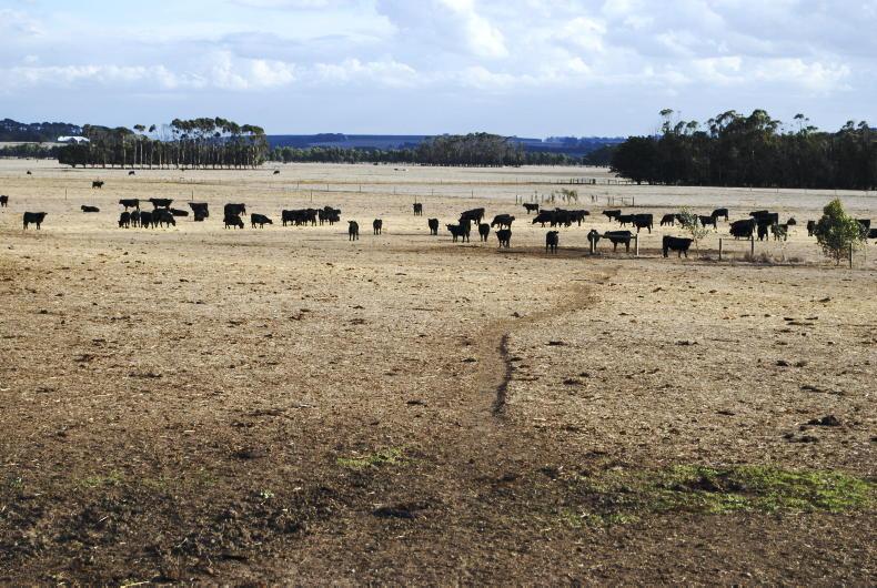
A status yellow warning for Leinster and Munster will be reviewed on Wednesday following the weekend's rain, as soil moisture deficits of more than 70mm in those regions will take more to be filled.
Monday
Rain in the southeast will clear and many areas will be dry, with bright or sunny spells. However, scattered showers in Atlantic coastal counties in the morning will extend gradually eastwards during the afternoon and early evening, some of them heavy, with a risk of thunder. Top temperatures will range between 15°C and 19°C in mostly moderate southwesterly winds, dropping between 9°C and 12°C at night.
Tuesday
Scattered showers, especially in the west and northwest, will form part of a breezy day with fresh and gusty south to southwesterly winds. It will become drier at night. Top temperatures will be between 16°C and 20°C.
Wednesday
Showery rain will move northeastwards during a cloudy day. Top temperatures will reach the high teens to low twenties in moderate southerly breezes.
Thursday
Met Éireann is forecasting a warm day with scattered showers and sunny spells.
Friday onwards
High pressure is likely to build over Ireland and it will be mostly dry with just the odd shower. Temperatures will be in the high teens to low twenties in just light variable breezes.
Rain
The past few days' rain has brought levels above average. With unsettled weather in the first half of the coming week and drier weather from Thursday, rainfall is expected to a little below average for most, apart from western coastal fringes which will be wetter.
Temperatures
Air temperatures are forecast to remain slightly above average in the coming week, as they were in the past seven days. Soil temperatures remain between 2°C and 4°C above normal.
Sunshine
Sunshine values are currently aligned with the average and will remain so until brighter conditions develop towards next weekend.
Drying conditions
Drying conditions will improve in the second half of the week.
Spraying
There will be very few, if any, opportunities for spraying over the coming days with unsettled weather continuing. Better later in the week.
Field conditions
Recent and today's rainfall has reduced soil moisture deficits in many parts. The expected rainfall over the next few days will reduce soil moisture deficits a bit further. However soil moisture deficits will remain quite high in parts of Leinster and Munster, still close to 70mm, with some further restriction to growth.
Read more
Rain arrives in Kilkenny at last
Your tweets: rain has arrived!
Satellite images show extent of ground scorched by drought
British farmers call 'drought summit'


SHARING OPTIONS