
The Department of Agriculture is mapping Ireland’s grasslands and bogs, with the final result to be a national land cover map.
It will be critical to “informing policy management, environmental management and environmental reporting,” the Department of Agriculture has said.
Function
The new map “will help with better inventory reporting, as well as improved targeting of policy interventions,” it said.
“The project will deliver a national map, with detailed land cover classification at parcel level and will include both agricultural and non-agricultural land,” a Department spokesperson told the Irish Farmers Journal.
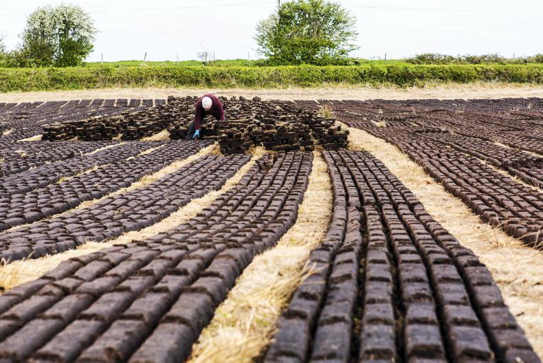
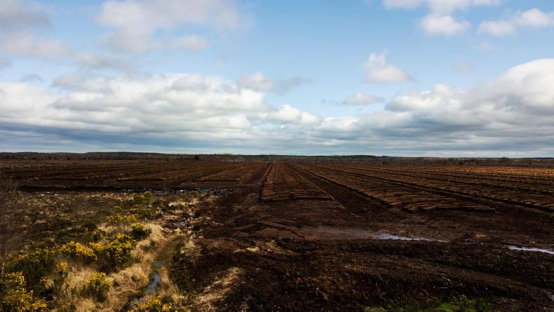
This will include improved grassland and semi-improved grassland, along with the country’s peatlands.
Definitions
The Department is using Fossit’s A Guide to Habitats in Ireland to define what grasslands are, with some subject to change.
It defines improved grassland as “intensively managed or highly modified agricultural grassland that has been reseeded and/or regularly fertilised, and is now heavily grazed and/or used for silage making”.
Semi-improved grassland is defined as “mineral rich or peaty” soils in upland areas, but can also be found on siliceous sandy soils in the lowlands.
The map is expected to be completed in late 2021.

SHARING OPTIONS