

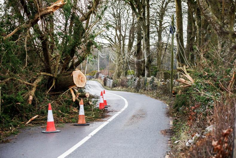
Met Éireann is forecasting patchy outbreaks of rain and drizzle for the week ahead mainly across the north and west at first, but spreading elsewhere later in the week.
Monday will start largely dry and bright with just a few isolated showers in parts of the west and north, according to the national forecaster.
However, cloud will increase by the afternoon, with patchy rain and drizzle pushing into the north and northwest.
It will stay mostly dry elsewhere, with the best of the limited sunshine in the south and southwest. Highest temperatures will range from 15°C to 18°C.
Tuesday
The day will be mostly cloudy to begin with light outbreaks of rain and drizzle, becoming largely confined to the north and northwest by the afternoon. There will be some sunny spells in the southeast and east later where it will feel mild into the afternoon. Highest temperatures will be 15°C to 19°C or 20°C.
Wednesday
Like the previous day, Wednesday will begin mostly cloudy or overcast with patchy light rain or drizzle and just light westerly or variable breezes. Some areas will stay dry but with limited sunny spells. Temperatures will remain about the same.
Thursday
There’s a touch of déjà vu for Thursday, which is set to begin mostly cloudy with scattered outbreaks of rain and drizzle. There will be hill and coastal fog in parts too. However, some mild or warm sunshine will break through.
Friday
Conditions are set to deteriorate on Friday, with Met Éireann forcasting a wet day with showery outbreaks of rain sweeping northeastwards over the country. It will feel fairly mild and humid with highs of 17°C to 21°C.
Rainfall amounts over the past seven days have been above average in parts of the north and west, according to Met Éireann. Up to 1.8 times the average was recorded at Belmullet, Co Mayo, which was the wettest station in the last seven days with 40.6mm recorded.
In contrast, much of Munster, Leinster some northern and eastern parts of Ulster recorded below average rainfall with Dublin Airport recording the least, with 11.3mm (70% of its average).
Projected rainfall amounts for the coming week are quite variable with overall accumulations likely to trend near to above normal, with most places seeing between 15mm and 25mm or 80-115% of the average.
However, some parts of Munster and south Leinster could stay drier than normal, with less than 10mm projected in these parts during the coming week.
Some good opportunities are likely on Monday away from the northwest, with mainly dry conditions and moderate northwesterly winds.
The rest of the week will be hit and miss with patchy rain and drizzle at times, with the best of the opportunities further south and east, though winds will be lighter.
Spraying opportunities will be limited in the short term due to moderate to fresh winds on Monday and for a time on Tuesday.
Current indications are that conditions will improve away from northern and western counties around midweek, but these could still be hit and miss, with patchy rain and drizzle at times.
Due to recent rainfall, many soils across northern and western parts of the country are currently saturated.
Elsewhere, soil moisture deficits range between 10mm and 40mm with the driest conditions in south Leinster and east Munster.


SHARING OPTIONS