

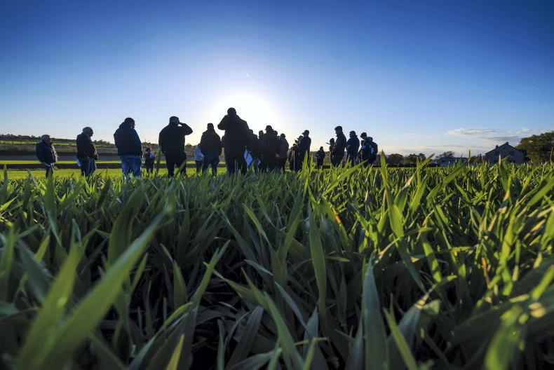
While the week will begin warm, temperatures will fall and conditions become more unsettled as the week progresses.
Monday
Rain and drizzle will be persistent for a time over the north and east early in the morning but will become patchier elsewhere. Most areas will become dry by early afternoon, with just isolated patches of mist and drizzle being confined to the northwest mostly. Temperatures will be higher than typical for the time of year, ranging between 15°C and 18°C or possibly 19°C.
Heavy rain on Monday night could lead to localised flooding in southern counties early in the night.
Tuesday
The day will begin wet and blustery with outbreaks of rain, turning more showery during the afternoon. It will be very mild, with top temperatures of 16°C to 19°C in fresh southwest winds.
Wednesday
The day will begin wet, with outbreaks of rain clearing to bright spells and showers will spread from the west for the afternoon. Further heavy rain is possible in the south and west by evening. Highest temperatures will fall to 10°C to 13°C in fresh and gusty southwest winds, strong at times on Atlantic coasts.
Thursday
Thursday looks set to be a fresh and blustery day with a mix of sunny spells and scattered showers. The showers will chiefly affect coastal counties of the west and north with a few hail showers possible. Highest temperatures will range from around 10°C to 13°C in fresh to strong and gusty northerly winds. Most areas will become dry on Thursday night, as temperatures drop to 3°C to 7°C.
Friday and weekend
It will be mainly dry on Friday, with bright spells and just a few passing light showers. Maximum temperatures of 10°C to 13°C are forecast.
Met Eireann says early indications suggest it will turn unsettled again for the weekend with wet and windy weather spreading from the Atlantic.

SHARING OPTIONS