As much as 60mm of rain is forecast to fall between Monday and Wednesday.
ADVERTISEMENT
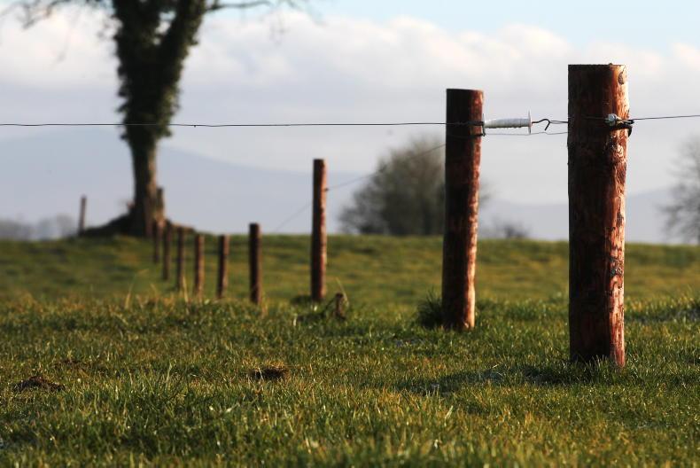
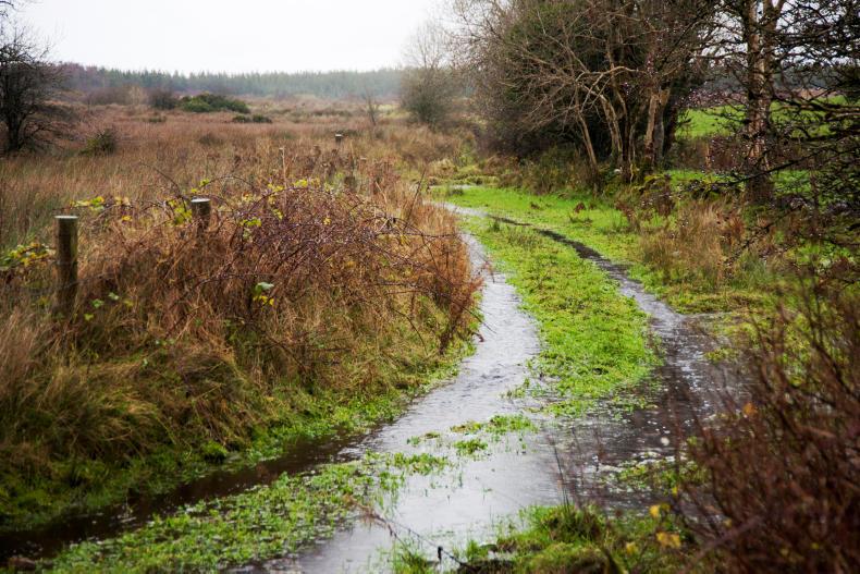
Storm Frank will replace Storm Eva and is expected to bring yet more heavy winds and prolonged periods of rain. Some 30mm to 60mm of rain is forecast to fall between Monday and Wednesday.
Met Éireann said that, again, the focus of the next storm will be the north, west and south coasts.
“It will become very wet and very windy during the afternoon as heavy rain pushes in from the Atlantic in gale force south-easterly winds.
ADVERTISEMENT
“This is from another powerful Atlantic storm (may be named Frank) out to the west of Ireland which may produce some damaging gusts over Ireland and further flooding so please keep in touch with the latest forecasts and warnings from Met Eireann. Be aware also that there will be exceptionally high Atlantic waves along the north, west and south coast,” Met Éireann said.
However, by Wednesday the storm will have moved towards Iceland leaving dry periods but due to the large periods of rain, flooding is “inevitable” according to Met Éireann.
This content is available to digital subscribers and loyalty code users only. Sign in to your account, use the code or subscribe to get unlimited access.
The reader loyalty code gives you full access to the site from when you enter it until the following Wednesday at 9pm. Find your unique code on the back page of Irish Country Living every week.
CODE ACCEPTED
You have full access to the site until next Wednesday at 9pm.
CODE NOT VALID
Please try again or contact support.
Storm Frank will replace Storm Eva and is expected to bring yet more heavy winds and prolonged periods of rain. Some 30mm to 60mm of rain is forecast to fall between Monday and Wednesday.
Met Éireann said that, again, the focus of the next storm will be the north, west and south coasts.
“It will become very wet and very windy during the afternoon as heavy rain pushes in from the Atlantic in gale force south-easterly winds.
“This is from another powerful Atlantic storm (may be named Frank) out to the west of Ireland which may produce some damaging gusts over Ireland and further flooding so please keep in touch with the latest forecasts and warnings from Met Eireann. Be aware also that there will be exceptionally high Atlantic waves along the north, west and south coast,” Met Éireann said.
However, by Wednesday the storm will have moved towards Iceland leaving dry periods but due to the large periods of rain, flooding is “inevitable” according to Met Éireann.
If you would like to speak to a member of our team, please call us on 01-4199525.
Link sent to your email address
We have sent an email to your address. Please click on the link in this email to reset your password. If you can't find it in your inbox, please check your spam folder. If you can't find the email, please call us on 01-4199525.
ENTER YOUR LOYALTY CODE:
The reader loyalty code gives you full access to the site from when you enter it until the following Wednesday at 9pm. Find your unique code on the back page of Irish Country Living every week.


SHARING OPTIONS