

It is a dull and misty start to the week with some patches of rain. It will become dry in most places however, it will remain cloudy and dull.
Outbreaks of rain and drizzle in many areas at first, but becoming dry in most areas with bright or brief sunny spells developing. 17to20C
— Met Éireann (@MetEireann) August 22, 2016
Maximum temperatures 17 to 20 degrees, in mostly light to moderate southwest to west winds. Monday night will see a spell of heavy and locally thundery rain will move up from the south, spreading to most parts, but it will remain mostly dry in west and northwest coastal areas. Mild and humid, with hill and coastal fog returning.
Tuesday morning will be wet in most parts of the country, with persistent and heavy rain locally. Brighter and mainly dry conditions along Atlantic coasts will extend gradually eastwards, but it will remain dull in the east and northeast throughout the day, with outbreaks of rain and drizzle. Rain will persist for a long time along eastern coastal areas, but most parts will be dry, with some clear spells developing.
It will be bright and dry by midweek, but some scattered showers will occur, mainly in Atlantic coastal counties. Mist and fog patches will return on Wednesday night in near calm conditions. Risk of showery rain in places, especially in the east.
There will be a risk of rain early on Thursday morning, but it will brighten up, with mainly dry conditions. Some scattered showers will occur, turning heavy and possibly prolonged in Atlantic coastal areas later, with a slight risk of thunder. Max. 17 to 20 C., in mostly light variable winds.
Friday will be cool and fresh, in mostly moderate southwesterly winds. Mostly cloudy also, with scattered shows, or possibly more persistent rain in places, especially in the northern half of the country. Some bright or sunny spells also.
Rain
Most of the country had above average rain, except for the northwest, which was slightly below average. Rainfall is expected to be below average in most places, ranging between 30% and 60% of normal values, with the south east expected to be closer to average due to waving fronts over the next few days.
Temperatures
The mean air temperature over the last seven days was above average across the country by around 0.5-1.5 degrees. For the week ahead temperatures are expected to be just below average in Atlantic coastal counties and just slightly above average elsewhere.
Sunshine
Much of the country had average sunshine over the last seven days, but the south of the country below average; between 60 and 90% for this time of year. This coming week will see sunshine close to or just below average again.
Drying Conditions
Drying conditions will be often poor.
Spraying
Poor spraying opportunities over the next few days, but Wednesday is looking like the best day in many parts.
Field Conditions
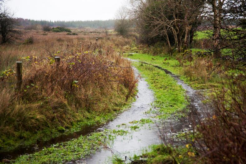
Some poor to moderately drained soils could reach saturation and possibly may become waterlogged over the next few days, especially in the western areas.


SHARING OPTIONS