

According to Met Éireann, those on higher ground will see some snow and wintery rainfall later in the week.
On Monday, heavy rain from Sunday night will gradually clear eastwards, but that will be followed by showers. These showers will be heaviest in the west. Temperatures will reach a maximum of 8°C. This is cooler than it has been recently, but is still ahead of the norm for the time of year.
Moving on to Tuesday, it will be breezy but milder than Monday. Expect showery downfalls and temperatures of 8°C to 11°C
At this stage, it looks like Wednesday will be the last mild day of the week. Conditions, according to Met Éireann, will be blustery but there will be plenty of sunshine too. Expect showers, though. Temperatures will range from 7°C to 9°C.
Expect a serious change from Wednesday night into Thursday. Temperatures will drop to 3°C to 6°C and it will be bitterly cold. Those in the west will see wintery showers, with snow falling on hills and higher ground. The cold will hang around and there will be frost on Thursday night, with temperatures dropping as low as -2°C.
On Friday there will be sleet and snow showers for most, although it will be sunny. Temperatures will again range from 3°C to 6°C.
No different news for next weekend – it will be cold with sharp frost by night and rain and snowy showers by day.
Rainfall and temperatures
Last week the only meaningful rain of the week fell on Friday so rainfall amounts were low – approximately 30% to 70% of the average for the time of year. Except for everyone on Sunday night and those along Atlantic costal fringes, this week will again be dry. Met Éireann is forecasting rainfall levels of just 20% to 40% of the average this week.
As stated above, the coming week will be colder than usual.
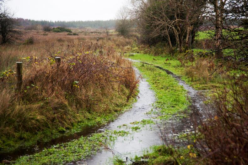
Drying and field conditions
Field conditions in the Zone A counties ahead of the slurry spreading season reopening are good.
Free-draining soils are in good shape but wetter land and heavier soils are not going to improve over the coming week.


SHARING OPTIONS