

Warm and humid conditions are forecasted for Tuesday, with hazy sunshine. It will be mostly dry in Munster and south Leinster, with just some isolated light showers. However, there will be widespread showers across the northern half of the country in the afternoon, with a risk of some heavy or thundery downpours, mainly in Ulster and north Leinster. Temperatures will be between 18°C to 23°C, coolest along coasts due to see breezes.
Showers will die gradually this evening and tonight it is expected to be mild, humid and mostly dry. However, it will be misty with fog especially on hills and some coasts. Lowest temperatures will be between 11°C to 15°C in light variable breezes.
Similar conditions are expected on Wednesday. It will be warm and humid and dry in many areas. However, well-scattered showers will develop in the afternoon. Temperatures could reach 25°C and winds will be light variable or calm for inland areas but sea breezes will develop along the coasts.
Misty on Wednesday night but dry. Overnight will be humid, with lows of 10°C to 15°C.
Thursday will be warm and mainly dry, with just a few isolated showers possibly in the afternoon. There will be a lot of cloud, but hazy sunshine developing in most areas. Afternoon temperatures will be between 18°C and 23°C, coolest on coasts. Persistent rain will develop in the west and southwest, extending to other areas overnight.
Rather cloudy day forecasted on Friday, with showery rain in many areas. Later in the day it will turn brighter, with sunny spells in southwestern and western areas. It will be fresher and cooler than previous days, with afternoon highs of 17°C to 20°C.
Rain
There was very little rainfall last week, with most areas recording no rainfall. However, it will be a different matter today as thunderstorms break out in a humid continental flow. All areas are at risk and orange status rainfall warning will bring local totals of 50mm, bringing this week's rainfall totals above normal in the matter of a day for some localities. Despite the wet start to the week, the week ahead will bring more usual rainfall amounts.
Temperatures
Mean air temperatures over the past seven days were above average, typically by 2°C. However, parts of Ulster saw just slightly above average temperatures. The week ahead will once again be warmer than average in all areas. In the midlands, the mean air temperature is indicated to be three degrees warmer than normal. However, values are set to slip back from Friday into next weekend. Soil temperatures are above normal for the time of year by up to five degrees.
Sunshine
There was a lot of sunshine throughout the country last week, especially over the last four or five days and amounts range from 200 to 250% of average for the week as a whole. Sunshine will be less reliable through the week ahead. Despite some heavy downpours in the short term, there will be spells of warm hazy sunshine in parts over the next number of days.
Drying conditions
Drying has been excellent overall. However, conditions will deterioirate with the arrival of thundery rain in parts today. Later in the week, Atlantic rain belts will throw up some falls of rain.
Spraying
Conditions for spraying will deteriorate today, but will improve tomorrow well into midweek.
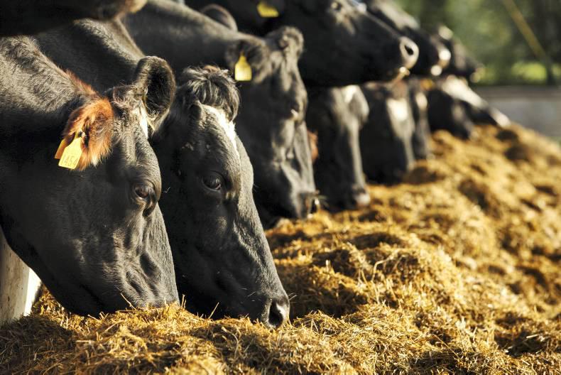
Field Conditions
All lands are trafficable. Soil moisture deficits are high at the moment and may impact on growth in some areas. However, the expected rainfall should help as the week progresses.


SHARING OPTIONS