

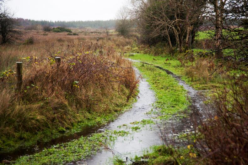
A status yellow rainfall warning remains in place until 4pm today for a wide half of the country north of a line extending from Co Clare to Co Wicklow, with potential accumulations of 30mm to 50mm, especially on high ground.
Met Éireann forecats that outbreaks of rain and drizzle will continue for the day, with local heavy downpours presenting a risk of spot flooding. Drier weather will gradually extend from the south across the country. Temperatures of 18°C to 21°C and 23°C. It will remain above 14°C at night.
Expect a similar day on Tuesday before fresher conditions develop at night. This is forecast to usher a drier, cooler day on Wednesday, with more balance between sunny spells and scattered showers. Temperatures will remain between 15°C and 19°C on Wednesday and Thursday.
A new band of heavy rain is due to push across the country from the northwest on Thursday as winds pick up, though parts of south Leinster and east Munster are likely to escape it. At this stage, Friday is expected to be the only settled, mostly dry day of the week.
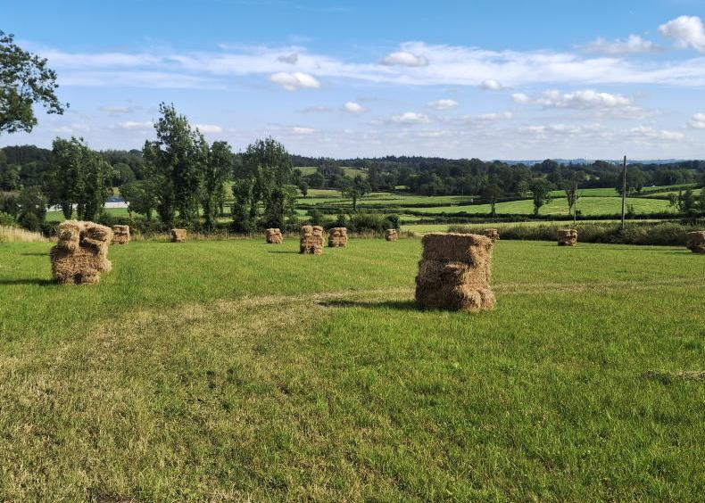
Farming forecast
Overall, Met Éireann forecasts rainfall amounts to remain above normal in most areas this week, especially in the north and northwest. However some parts of the south and southeast will buck the trend with rainfall 80% to 90% below average.
While some areas in the far southeast still show soil moisture deficits of around 20mm, soils will become saturated or waterlogged in many other areas, especially on heavier land.
Just like in the past week, mean air temperatures should be 1°C above normal. Soil temperatures are generally around 16°C – slightly above normal.
The coming week is expected to see a good deal of cloud in general and sunshine amounts are likely to be below normal especially in parts of the north and northwest.
Met Éireann is forecasting poor drying conditions and only limited spraying opportunities for the coming days.


SHARING OPTIONS