

After a dry night on Sunday, Monday will be similar to Sunday. It will be dry, sunny and little or no wind. In all it will be a fine day.
Top temperatures will range from 20°C to 25°C. It will remain dry and settled on Monday night and temperatures will drop back to 10°C to 12°C.
Moving on to Tuesday, the day will start dry and bright again but there is a risk that heavy rain will spread in from the southwest in the late evening or overnight.
However, the majority of the day will be fine and dry with top temperatures of 24°C to 25°C. It will be warmest in the west.
Rain will spread on Wednesday and there is a risk that some of this rain will turn heavy at times. The rain will be widespread hitting all parts of the country. Met Éireann is forecasting as much as 10mm on Wednesday. Temperatures are forecast to reach highs of 18°C on Wednesday.
There will be rain again on Thursday with the western half of the country seeing the most of any rainfall. The rain will clear eastwards overnight. Temperatures will be back on recent days too.
For Friday and into the weekend, it will remain cool and unsettled. These conditions are forecast to continue into next week too.
Rain
According to Met Éireann, rainfall amounts for the week ahead are expected to remain below average across the south and southeast of the country but many other areas are expected receive close to normal or slightly above the average for the time of year.
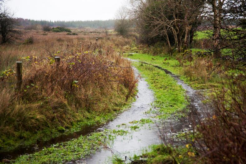
Rainfall over the past seven days was below average in most parts of the country with the exception of parts of Ulster. Amounts were generally between 20% and 50% of normal.
Drying and field conditions
Soil moisture deficits in the east of the country are between 40mm and 60mm and this has been restricting growth. All soils are trafficable at the moment but heavier or poorly drained soils could do without much rain this week.
After Tuesday, there will be little in the way of drying this week.


SHARING OPTIONS