

Heavy rain which the south, southeast and east saw on Monday will continue into Monday night and on to Tuesday.
It will be a blustery day with a risk of some heavy downpours. The west will get the worst of the rain in the morning, with the east seeing that heavy rain in the afternoon and evening. Temperatures will range from 13°C to 16°C.
Wednesday will start dry for everyone. Cloud will build and rain will spread from the southwest to affect everyone by the afternoon and evening. It will be a mild and muggy day, with temperatures rising to 16°C or 17°C.
There will be ideal conditions for a blowfly strike on Wednesday and into Thursday, remaining humid and damp. Temperatures will range from 15°C to 18°C.
For Friday and into the weekend, the story remains similar. It will be mild, warm at times and remaining showery.
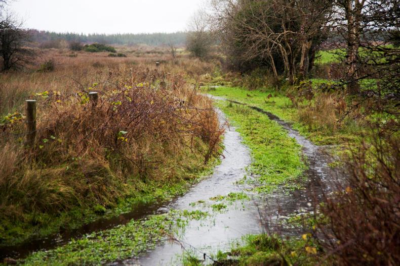
Rain
The week just gone was showery and had periods of heavy rain. Rainfall levels are above the weekly norm in many parts of the country. In fact, parts of the west saw 40% to 70% above average rainfall. This week will continue unsettled as low pressure dominates. Rainfall, according to Met Éireann, is expected to be 140% to 200% of the average countrywide, but closer to 250% of normal in some southern areas.
Temperatures
Temperatures are forecast to be 0.5° to 1°C below the average weekly rate this week.
Drying and field conditions
Coming off the back of a wet week, we’re in for another wet one. As a result, drying conditions will be non-existent.
Soil moisture deficits are currently between 0mm and 10mm around the country, with parts of the southwest being saturated. Moderately and poorly drained soils will become saturated in some parts of the country by the end of next week, with the weather tending to be more unsettled.


SHARING OPTIONS