

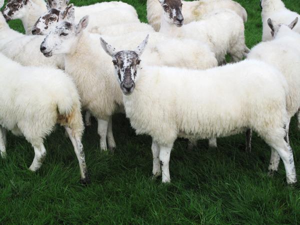
Just last month, the town of Claremorris in Co Mayo had its coldest July in 50 years. To find out why, we caught up with Gerry Murphy of Met Éireann, who told us that the cold weather of last month had something to do with a phenomenon called the jet stream.
“The jet stream is an upper air jet of wind that occurs along the polar front, which separates the cool air to the north and the warm air further south,” says Murphy. “Throughout the Irish summer, this jet has maintained a predominantly west to easterly path.
“To the south of this stream, there was very, very hot weather but for us in northwest Europe it was generally quite cool,” he continues. “And that’s how it has been generally during the summer.”
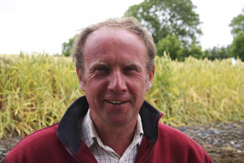
Gerry Murphy has been presenting the weather forecast on RTÉ One for nearly 15 years. The farming forecast, however, which airs on RTÉ at lunchtime on Sundays, will be celebrating its 25th anniversary next year, and is still a must-watch in many farming households, drawing in just shy of 127,000 viewers per week.
Put another way, almost one in five people watching television in Ireland at one o'clock on a Sunday are watching the farming forecast.
Murphy, who presents the farming forecast every three to four weeks depending on his roster, acknowledges that Irish summers are very variable. But he says the variability in the Irish climate is a good thing, because it means we don’t get extreme temperatures very often.
“But this does mean, fluctuating within those extremes in our maritime temperate climate, we get very variable summers from one year to the next. There’s no way of predicting how it will be next year,” he says.
Rain shadow effect
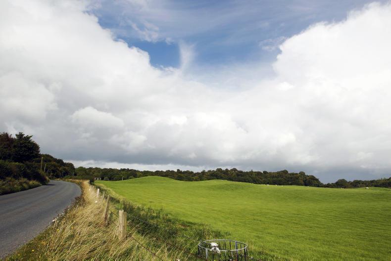
At the end of July this year, parts of the western half of the country were hit by almost triple the amount of rain recorded in the east. Again, this has to do with a predominantly westerly flow.
“A lot of our weather systems come in from the west across the sea and they deposit most of their moisture in the west as they move eastwards across the country,” explains the meteorologist.
This westerly flow, coupled with something called the rain shadow effect, means one of the driest parts of the country is actually Dublin, with the lowest rainfall on average recorded in Irishtown in south Dublin.
Murphy explains the rain shadow effect: “There is an effect from the Dublin and Wicklow mountains, whereby, when a weather system comes across with a southerly wind, which often happens in Ireland, the bulk of the rainfall will fall on the upside of the mountain. There is then less rain to fall on the lee side of the mountain. Dublin is on the lee side of the Wicklow and Dublin mountains and tends to get less rainfall.”
Every year, RTÉ and Met Éireann travel to the National Ploughing Championships. One of the reasons they go there is to speak to farmers and get their feedback on the farming forecast. Murphy, who is himself from a small beef farm in Carrickmacross, Co Monaghan, believes farmers are generally among the better educated section of the population when it comes to the weather.
“RTÉ and Met Éireann go down to the National Ploughing Championships every September and generally the feedback we get from farmers is very positive,” he says.
“Farmers are definitely among the better educated of the population when it comes to the weather and they are very much in tune with it. I also think farmers have a good handle on the unpredictability of the weather and understand that we cannot always get it right. I mean, the forecast is at best a scientific opinion of what is going to happen. It is not a scientific fact.”
The atmosphere is like a river
In order to give a sense of how slippery the science of forecasting can be, Murphy offers the analogy of a ball floating on a river of water.
He explains that if it is a calm day and the river is moving very slowly, there is a good chance of being able to predict where that ball will be within the next 30 seconds. However, if the current is strong and the river is moving at a rapid pace, it will be hard to predict where the ball will be in 10 seconds.
“For forecasters, the atmosphere is like the river and weather conditions are like the ball. If the atmosphere is stable, you might be able to predict accurately up to seven days ahead, but if it is moving rapidly, it would only be a day or two.”
Murphy adds that advances in technology, mainly through advanced computer models, are making it easier for forecasters to predict further ahead (he estimates about a day’s further certainty for every decade). But he does not believe in long-range weather forecasts. No Old Farmers’ Almanac for him.
“I don’t agree with them at all. I don’t think they tell you anything for the longer term. I agree with the scientific method of forecasting. These long-range weather forecasts are often worded so that they can be applied to most situations.”
And yet we still have to ask, does he have any predictions for the rest of August?
“Well, I can only predict a few days ahead with any amount of certainty,” Murphy says. “But it does look as though the weather will be quite settled into the middle of this week. Although temperatures will be cooler than last week, it looks like there won’t be much rainfall.”
For more on this topic, including how the farming forecast was founded, listen to our full interview with Gerry Murphy in the podcast below:

SHARING OPTIONS