

Sunny spells on Friday morning but cloud will thicken from the south, according to Met Éireann. Outbreaks of rain will develop in southeast Leinster from late morning, spreading northwards – the heaviest and most persistent rain reserved for the east coast. Many midland areas will hold dry, though showers will continue to affect Atlantic coastal regions. Strong winds are forecast about the west and northwest coast initially, becoming light variable inland this afternoon.
Scattered showers will spread eastwards overnight and some of these could turn wintry. Skies will clear later in the night, and frost and icy patches will form as temperatures drop between -2 and 2°C.
Hail or sleet in north and west
It will be a cold and dry start to Saturday morning, with sunny some spells. However, scattered showers, with hail or sleet, will continue to affect western and northern coastal fringes, with these showers becoming more widespread through the afternoon and evening. Maximum temperatures of 6 to 8°C in light southwest breezes. It will be a largely dry night, but cold with a sharp to severe frost forming in light winds with lowest values ranging -3 to 0°C.
Atlantic coastal counties will have rain and hail. Elsewhere it will be largely dry with sunny spells in light variable or gentle westerly breezes. Top Sunday temperatures ranging 6 to 9°C.
There will be rain, heavy in some places, spreading from the southwest overnight and winds will back southeasterly overnight and strengthen. Lowest temperatures ranging -2 to 1°C, becoming milder towards dawn.
In the dairy notes, Aidan Brennan advises what to look for when buying ration.
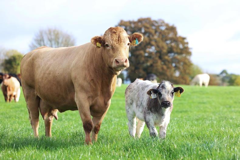
Adam Woods explains what to watch for when buying a stock bull in the beef management notes.
Darren Carty covers using scans and preparing for the lambing season in the sheep notes.
If weather remains fine and temperatures stay warm, application of nitrogen and other fertilisers will be required shortly, writes Andy Doyle in the tillage notes.


SHARING OPTIONS