Weather forecast
There will be a dry start to Tuesday for the bulk of the country, but cloud will increase during the day and outbreaks of rain and sleet will spread eastwards across the country.
Snow showers will develop along the east and south coasts towards evening. A status orange snow and ice warning is in place for Dublin, Carlow, Kildare, Laois, Louth, Wicklow and Meath from 3pm on Tuesday until 11am on Wednesday.
Scattered snow showers on Tuesday afternoon and night are forecast to lead to accumulations of 4cm to 6cm by Wednesday morning. Widespread frost and icy conditions are also forecast.
A status yellow snow and ice warning is in place from 6pm on Tuesday until 11am Wednesday for Kilkenny, Longford, Wexford, Offaly, Westmeath, Cork, Tipperary and Waterford.
Snow accumulations of up to 3cm are expected in these parts by Wednesday morning.
There will be a severe frost also on Tuesday night as temperatures drop to -5 in parts.
In the news
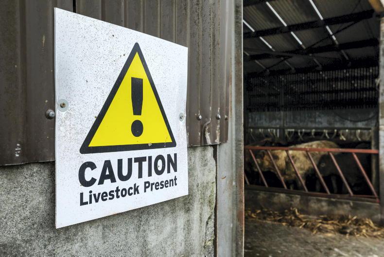
Farmers told to bear farm safety for themselves in mind as country braces for Storm Emma.The distribution of 250 additional places on the Rural Social Scheme is to be known within the next two weeks.Dairy farmers are most likely to have a farm accident, compared with farmers in other sectors new Teagasc research shows.Fianna Fáil TD for Mayo Dara Calleary is proposing an all-terrain vehicle safety bill to legislate for improved safety on quad bikes.Irish barley to be deposited in safest seed vault in the world - in Svalbard, Norway.Coming up
The latest updates on Storm Emma.An update from the BETTER beef farm challenge.What’s on
All events are subject to change given the bad weather forecast.
Save our Sucklers mart demonstration at Mohill Mart, Co Leitrim, from 7pm to 9pm.To find out more about events near you, visit our agri-events calendar.
Weather forecast
There will be a dry start to Tuesday for the bulk of the country, but cloud will increase during the day and outbreaks of rain and sleet will spread eastwards across the country.
Snow showers will develop along the east and south coasts towards evening. A status orange snow and ice warning is in place for Dublin, Carlow, Kildare, Laois, Louth, Wicklow and Meath from 3pm on Tuesday until 11am on Wednesday.
Scattered snow showers on Tuesday afternoon and night are forecast to lead to accumulations of 4cm to 6cm by Wednesday morning. Widespread frost and icy conditions are also forecast.
A status yellow snow and ice warning is in place from 6pm on Tuesday until 11am Wednesday for Kilkenny, Longford, Wexford, Offaly, Westmeath, Cork, Tipperary and Waterford.
Snow accumulations of up to 3cm are expected in these parts by Wednesday morning.
There will be a severe frost also on Tuesday night as temperatures drop to -5 in parts.
In the news
Farmers told to bear farm safety for themselves in mind as country braces for Storm Emma.The distribution of 250 additional places on the Rural Social Scheme is to be known within the next two weeks.Dairy farmers are most likely to have a farm accident, compared with farmers in other sectors new Teagasc research shows.Fianna Fáil TD for Mayo Dara Calleary is proposing an all-terrain vehicle safety bill to legislate for improved safety on quad bikes.Irish barley to be deposited in safest seed vault in the world - in Svalbard, Norway.Coming up
The latest updates on Storm Emma.An update from the BETTER beef farm challenge.What’s on
All events are subject to change given the bad weather forecast.
Save our Sucklers mart demonstration at Mohill Mart, Co Leitrim, from 7pm to 9pm.To find out more about events near you, visit our agri-events calendar.


SHARING OPTIONS