
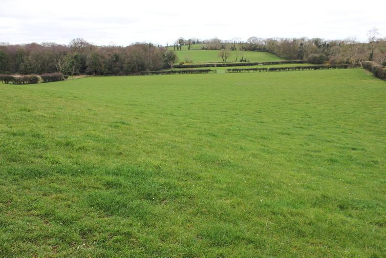
The new National Land Cover Map was created with the objective of providing more detailed and accurate data on the land cover types found in the Irish landscape.
The thing that really stands out from reading the report published this week is how wrong some of the numbers which were relied on before are.
The best map that existed until now for all of Ireland was the EU CORINE Land Cover 2018 map.
The new map shows almost 700,000 fewer hectares in the country under grass and 100,000 extra hectares of land under crops than had been reported in CORINE.
One of the biggest changes is the amount of land under forestry.
Definition
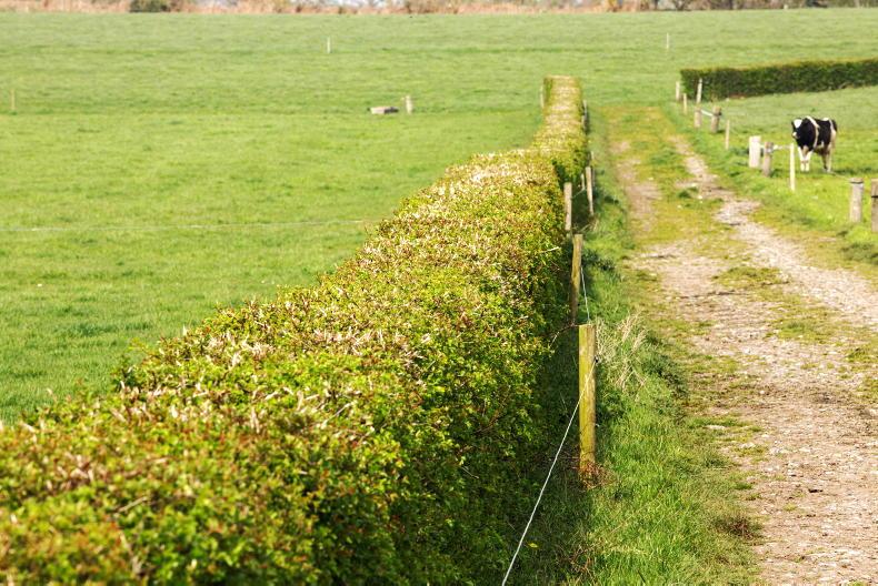
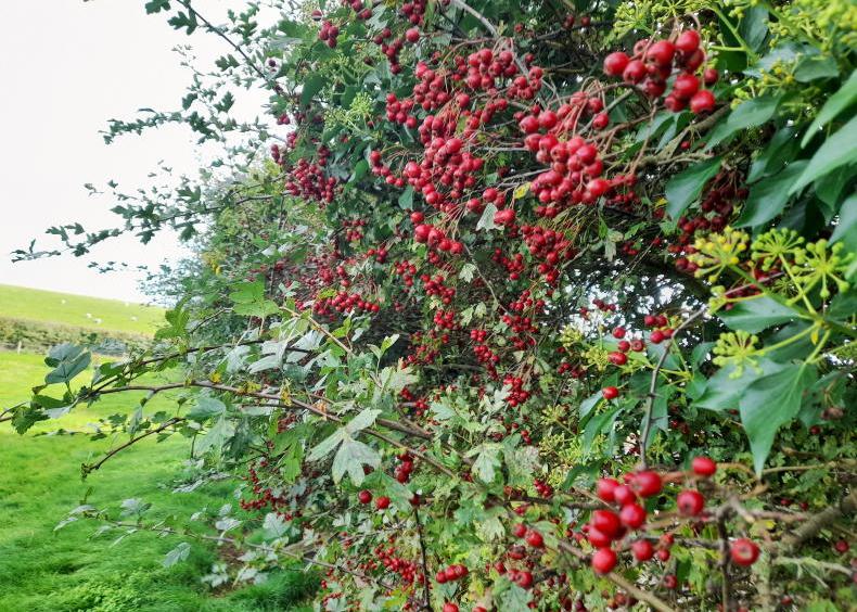
The new definition of forestry includes scrub, hedgerows and treelines. This, added to better mapping of Ireland's broadleaved woodland, gives Ireland's total forestry cover at 1.29m hectares, accounting for 18.29% of the land in the Republic.
The Irish Government has a forestry cover target of 17% by 2030 - it is unclear what this new data will do to that.
Of the forestry cover, hedgerows extend to 225,000ha, covering just over 3% of the country.
The report also breaks down land use by county and again some of the results may be surprising.
Highest grassland cover
The counties with the highest level of grassland cover were Limerick and Monaghan, both of which were over 70%.
Donegal, at 36.8%, was the lowest, having even less grass cover than Co Dublin.
The counties with the most forestry were Wicklow, Leitrim and Clare, while even the most tree-averse, Louth, has cover of more than 10%.
Also, among the sub-categories, 'improved grassland' was the only one to account for more than 10% of land cover. But, even then, it could only make 41.53% of land use.
When adding 'wet grassland' (basically the fields that have rushes in them), at 9.47%, and 'dry grassland', at 1.13%, we get just over 50% of Ireland is covered in green fields. Almost half the country is in other land uses.