



This September, Drone as a Service is heading to the National Ploughing Championships in Tullamore, bringing its agricultural drone expertise directly to farmers.
Find the team at Stand 78, Block 3, Row 4, where they'll be on hand throughout the event to talk through precision aerial spraying and spreading; grassland management; forestry services; and more, and explain what it could mean for your own land.
Every mission is flown by an IAA-certified pilot using registered drones, meaning farmers get all the benefits of the technology without the cost or hassle of owning a fleet, hiring pilots or managing regulatory approvals themselves.
One drone, every acre covered
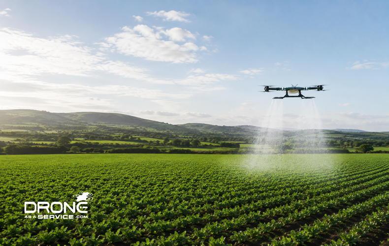
Drone as a Service has become one of the first companies in Ireland approved to carry out aerial spraying and spreading of granular and liquid fertiliser, seed and pellets by drone, using one of the first, if not the only, 50kg-capacity spraying-and-spreading drones in the country, giving it the payload to treat real farmland at real scale.
This isn't limited to the hardest-to-reach corners of a field; it's a genuine option for applying inputs across a farm generally. Drones follow flight paths programmed specifically for each field, using variable-rate and spot-application technology to apply inputs exactly where they're needed, whether that's a full field pass or targeted treatment of problem areas flagged through crop or grassland monitoring.
The result is less waste, more efficient input use, and faster coverage than conventional ground equipment across a site of any shape or size.
Because the drone never touches the ground, there's no compaction and no wheeling damage, on flat, easily accessible ground just as much as steep banks or soft corners. Every application is GPS-guided and logged, giving farmers a clear, traceable record of exactly what went down, where, and when, useful for both efficiency and compliance.
For farmers managing large acreages, fragmented land or fields coming out of a wet spell, this means inputs can go down on schedule, protecting yield potential that would otherwise be lost to timing or terrain.
Smarter grassland management
Ireland's grasslands are some of the most productive in Europe, but getting the most from them takes precise, consistent information.
The Grassland Management service uses scheduled drone flights to capture high-resolution imagery of grass cover, density, and growth rates, translating it into hard numbers: biomass, sward height, and yield in kgDM per hectare, run weekly, fortnightly, or monthly, supporting better decisions on grazing rotations, cutting schedules and nitrates compliance.
Extending into forestry
The same precision is being extended into forestry. Drone as a Service is currently developing a LiDAR forestry-mapping service, designed to penetrate the canopy and deliver full-canopy stocking density, DBH, top height, and taper factor data, supporting standing volume and yield class figures that stand up to audit.
Alongside this, non-PPP aerial spraying and spreading of fertiliser, lime, biostimulants and seed across forestry sites, including steep or poor-access ground, is also in development, with particular value expected following windblow events or clearfell.
Equine and racecourse support
The same precision extends to Ireland's studs, yards and racecourses. For equine properties, aerial-nutrient application places fertiliser precisely on gallops and paddocks with no wheeling, compaction or bruising of the sward, protecting ground quality inspected daily by owners, trainers and vets.
Racecourses benefit similarly, with drone data supporting turf-health monitoring, centimetre-accurate course mapping, drainage management and surface inspections that flag risks to horses and riders.
One platform, many applications
Beyond spraying, spreading and grassland management, the broader agricultural offering gives farmers a fuller picture of their operation from the air.
Crop Health Monitoring flags nitrogen deficiency, water stress or disease before it's visible on the ground. Livestock Health Management combines thermal imaging with AI analytics to count, track and flag sick or isolated animals. Farm Maintenance inspections spot building, roof, road and drainage issues early.
Drone as a Service’s expertise doesn't stop at the farm gate either. Its experienced team supports construction, land surveying, real estate and government projects nationwide, alongside renewables, telecommunications and insurance-industry work, giving businesses across Ireland the same precision, speed and safety benefits farmers get from the sky.
Precision without the price of a fleet
What ties all of this together is access. Farmers don't need to own a drone, hire a pilot or invest in new machinery to benefit from any of it. Drone as a Service brings the technology, the flight operations and the data analysis so farmers get the insight, and the spraying and spreading, without the capital outlay.
As Ireland's farmers face growing pressure to do more with less, aerial precision is fast becoming less of a novelty and more of a necessity.
Stand 78 | Block 3 | Row 4
sales@droneasaservice.com | 1800 832 081 | droneasaservice.com/ireland



SHARING OPTIONS