

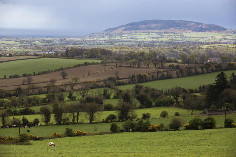
The weather over the weekend will be mainly showery, according to Met Éireann, but there will be periodic spells of sunny weather between the rain.
Today (Friday) will see a dry, bright start, especially in the midlands and east. However, the showers in western parts will start to spread eastwards during the morning. These showers will become heavy and even thundery during the afternoon, but will start to ease off in the evening.
Temperatures will be in the range of 14°C to 18°C.
A dry, bright start, but showers in the west spreading eastwards, become heavy and even thundery during the afternoon. Highs 14to18C
— Met Éireann (@MetEireann) August 28, 2015Saturday will be a similar day; dry and bright to start off but showers will develop as the day progresses. Some of the showers will be heavy and there is the risk of isolated thunderstorms again. Highs of 15°C to 19°C expected with moderate southwest winds.
Saturday night then will be largely dry with a few showers along western coasts.
Sunday will also see a dry, bright start. Again, showers will develop during the afternoon and evening. Parts of the west and the north will be most at risk, with some heavy falls likely.
Temperatures will range between 14°C and 18°C.
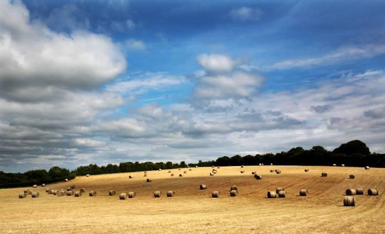
Tillge editor Andy Doyle writes that the current broken weather is causing concerns for harvest progress, grain quality and oilseed rape planting. To read more from Andy on tillage management this week, click here.
Sheep editor Darren Carty writes that at this stage of the year, the focus should be on switching to building up a supply of grass to prolong the grazing season. To read Darren’s recommendations for fertiliser application rates, click here.


SHARING OPTIONS