

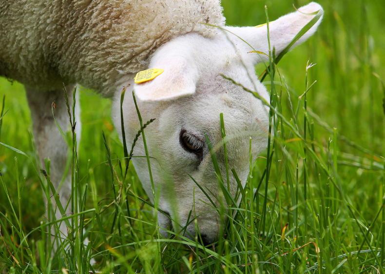
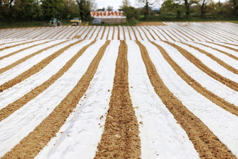
Situated in the east-midlands of Ireland, Co Meath stretches from Lough Sheelin in the west to its 12km coastal strip in the east. The county is recognised for its strong farming tradition and is noted for being a leading producer of several commodities, including potatoes and beef. The county enjoys extensive, rich pastures found throughout the Boyne and Blackwater River valleys that provide natural drainage for the county.
Over half of the county is characterised by limestone glacial till lowlands, giving rise to luvisols (movement of clay down the soil profile). Towards the east, around Ashbourne and Duleek, these lowland limestone glacial drift areas become wetter and surface-water gleys (slowly permeable sub-surface layer) tend to be more common in these parts.
In the north, the landscape is broken by some drumlin hills occurring on well-drained shale hills, with sedimentary stones in the lowlands. The soils here tend to be water-affected on the lower slopes, with brown earths and brown podzolics on better-drained slopes.
Outside of agriculture, one of the functions of soil is the provision of raw materials. An example of this in Co Meath can be found at Tara Mines, located west of Navan, where lead and zinc is extracted from the soil.
Another function of soil relates to the preservation of heritage. Co Meath is known as the Royal County because it was once the seat of the High Kings of Ireland who ruled from the Hill of Tara. It is also home to Newgrange, which is located just north of the River Boyne. This is a UNESCO World Heritage Site and is a prehistoric monument dating back to the neolithic period around 3200BC.
Almost half of the soils in Co Meath are luvisols. These are soils where clay has moved from the topsoil and has been deposited further down the soil profile. These are good agricultural soils due to their higher clay content along with their good nutrient retention capacity.
Slow movement of water
However, the higher clay content can result in the slow movement of water through the soil profile, meaning that they can be moderately to poorly draining, depending on soil texture. Almost all of these are the ‘Elton’ series (found in association 1000a led by subgroup 1000), which are luvisols associated with surface-water gleys found on glacial drift with limestone. The Elton series is widespread in the river catchments stretching from Oldcastle in the west, through Navan and Trim, but decreasing to the east coast.
Surface-water gleys are the second most prevalent soils found, the most common being the ‘Straffan’ series (found in association 0700d, led by subgroup 0700). These are most obvious in the south-east of the county, around Dunshaughlin and Ashbourne.
These soils form due to a slowly permeable sub-surface layer associated with heavy glacial till, which gives rise to heavy textured sub-soils. As a result, these soils are poorly drained, making them difficult to work with.


SHARING OPTIONS