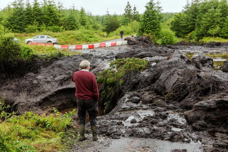
Just over 130ac of farmland, forest and riverbank were affected by the Shass Mountain landslide, which tore through the Drumkeeran region in Leitrim on 28 June last year.
A report conducted by consultants RPS Group shows that the landslide originated in the Shass Mountain and “slipped” 8.45km to Lough Allen.
It’s estimated that 30,000t of peat is still stuck at the Dawn of Hope bridge, which served as a de facto dam on the day of the landslide, with violent gushes of peat “slurry” jetting through the structure.
The report says that the current riverbank in the affected area is now “hazardous” to livestock, with soft peat margins and boundary fences swept away. It recommends raising the height of local roads and providing farm access tracks in the Corcormick and Derrindangan areas.
The preliminary cost of these remedial works, including road repairs and the construction of a dam, is priced at €2.7m.
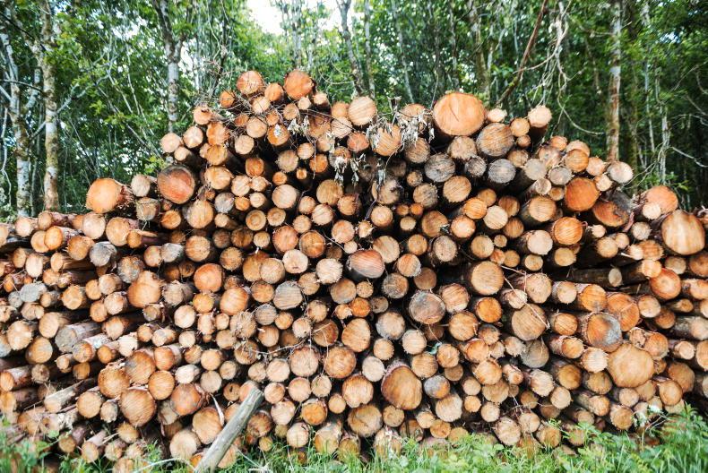
There has also been a suggestion to buy the agricultural and forestry land affected. The Department of Agriculture estimated that 57ac of farmland and 30ac of forestry had been affected.
The report estimated the value of the land at between €316,000 and €530,000, noting that the price of land in Leitrim can vary considerably.
Forestry
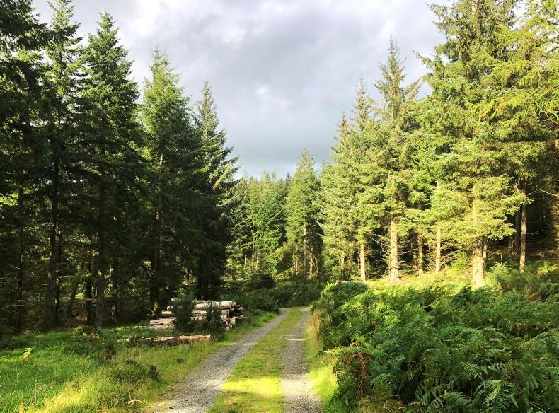
At the time of the landslide, there was also significant concern that the planting of forestry, in particular Sitka Spruce and Lodgepole Pine, between 1995 and 1997 in the region contributed to the destabilisation of peatland.
While the report observed that “cracking in the peat beneath forestry plantations allowing water to penetrate vertically into the lower peat layers” had been noted, it concluded that more work studies would be needed to determine the cause of the landslide and the impact of forestry.
Read more
Watch: Leitrim landslide washes thousands of tonnes of peat on to farmland
Calls for compensation fund for farmers hit by Leitrim landslide
Just over 130ac of farmland, forest and riverbank were affected by the Shass Mountain landslide, which tore through the Drumkeeran region in Leitrim on 28 June last year.
A report conducted by consultants RPS Group shows that the landslide originated in the Shass Mountain and “slipped” 8.45km to Lough Allen.
It’s estimated that 30,000t of peat is still stuck at the Dawn of Hope bridge, which served as a de facto dam on the day of the landslide, with violent gushes of peat “slurry” jetting through the structure.
The report says that the current riverbank in the affected area is now “hazardous” to livestock, with soft peat margins and boundary fences swept away. It recommends raising the height of local roads and providing farm access tracks in the Corcormick and Derrindangan areas.
The preliminary cost of these remedial works, including road repairs and the construction of a dam, is priced at €2.7m.
There has also been a suggestion to buy the agricultural and forestry land affected. The Department of Agriculture estimated that 57ac of farmland and 30ac of forestry had been affected.
The report estimated the value of the land at between €316,000 and €530,000, noting that the price of land in Leitrim can vary considerably.
Forestry
At the time of the landslide, there was also significant concern that the planting of forestry, in particular Sitka Spruce and Lodgepole Pine, between 1995 and 1997 in the region contributed to the destabilisation of peatland.
While the report observed that “cracking in the peat beneath forestry plantations allowing water to penetrate vertically into the lower peat layers” had been noted, it concluded that more work studies would be needed to determine the cause of the landslide and the impact of forestry.
Read more
Watch: Leitrim landslide washes thousands of tonnes of peat on to farmland
Calls for compensation fund for farmers hit by Leitrim landslide


SHARING OPTIONS