

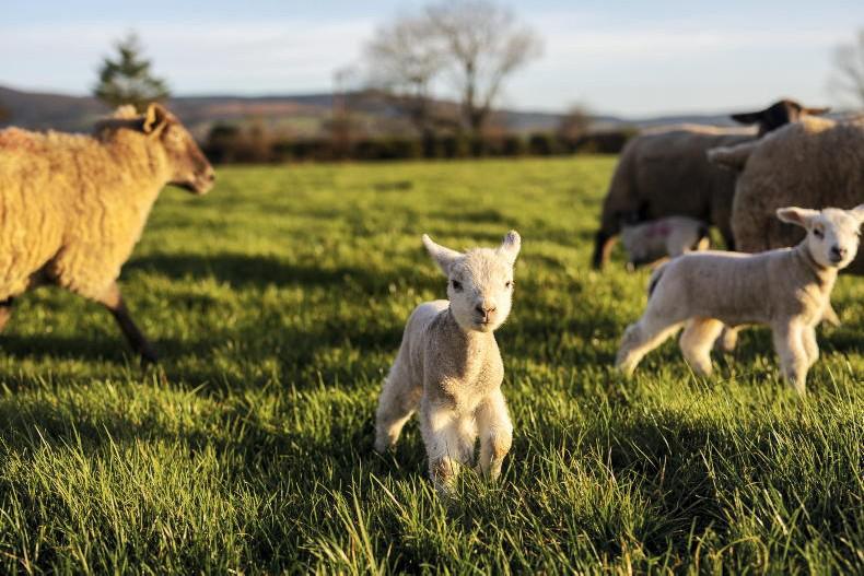
Monday
There will be a mix of bright spells and blustery showers on Monday, according to Met Éireann. Some of the showers are forecast to turn wintry in parts of the north and northwest by evening time.
It will turn colder as the day goes on, with mid-afternoon temperatures ranging from 4°C in the north to 8°C in the south.
Westerly winds will be fresh to strong and gusty, reaching gale force along the west coast.
It will be cold and windy on Monday night, with showers turning increasingly wintry, especially in western and northwestern counties, accompanied by westerly winds gusting to gale force.
Showers will tend to be less frequent in the east and south, though some wintry falls will occur here also.
Overnight, temperatures will drop to 0°C to 3°C, with frost in sheltered places.
Tuesday
On Tuesday, winds are expected to veer northwesterly and become increasingly strong and blustery, with gale or strong gale gusts.
Very high seas look set to develop along Atlantic coasts, bringing large waves and a risk of coastal flooding to these areas.
Showers will be widespread and many of them will be wintry, with hail, sleet and snow, together with a risk of thunder.
Daytime temperatures will range from1°C to 4°C generally but 5°C or 6°C near the south coast and it will feel colder due to a wind chill.
On Tuesday night, the strong to gale force northwesterly winds will continue, with the risk of coastal flooding persisting along Atlantic coasts.
Wintry showers are forecast to become more scattered overnight and temperatures will range from -1°C to 2°C, with a risk of frost and icy stretches.
Wednesday
On Wednesday, winds will back west to southwest and ease a little for a time, though it will still be rather breezy.
Showers are forecast to be less frequent than on Tuesday and those that do occur will tend to be of rain and sleet, rather than of snow.
Daytime temperatures will range from around 3°C in Ulster to 6°C or 7°C further south.
Rain will start to move in off the Atlantic on Wednesday evening, as high seas continue along the Atlantic seaboard.
There is some uncertainty regarding the details for Wednesday night, but a potentially disruptive period of weather is possible.
This comes as a deepening Atlantic depression tracks near to or perhaps even over some parts of Ireland bringing spells of rain and very strong winds.
Thursday
Current indications for Thursday suggest it will be very windy in the morning, with the risk of disruptive winds and scattered showers.
Westerly winds are forecast to slowly ease through the day, veering northwesterly in the evening.
Showers will continue throughout the day, and some of them will turn wintry as temperatures drop through the afternoon. Daytime highs will be around 4°C to 7°C.
Friday and the weekend
The latest forecast for Friday and the weekend is for a period of unsettled weather, but indications suggest winds will ease by the weekend.
SHARING OPTIONS