


Monday
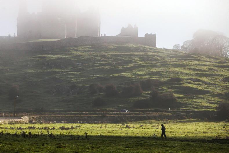
Monday will be a rather cloudy and misty day, with just a few bright spells.
Rain and drizzle will be scattered at first with dry periods also, but will become more widespread this afternoon and persistent in places, Met Éireann has said.
Some patches of fog on hills and coasts are likely, especially in the south and southwest.
It will be very mild for the time of year, with top temperatures of 11°C to 14°C in moderate, fresh at first southwest breezes.
Monday night is forecast to be mild, cloudy and misty with persistent rain for a time in northern counties, well scattered and lighter elsewhere. Hill and coastal fog is also forecast.
Overnight lows will vary between 8°C to 11°C.
Tuesday
Tuesday is expected to be another mild, cloudy and misty day, with rain at times in many areas and fresh southwesterly winds, but some drier periods also.
Afternoon highs will vary between 12°C to 14°C in fresh southwesterly winds.
Cloudy and misty conditions are forecast again on Tuesday night with some rain at times.
The rain is to turn heavy over Munster and Leinster towards morning, with temperatures not falling below 8°C to 10°C.
Cooler more showery weather is forecast over northern and northwestern parts, with lows of 5°C or 6°C expected.
Wednesday
The cloudy, misty weather will continue on Wednesday, with some further heavy rain for a time over eastern and southern areas where winds will be southwesterly at first.
It will turn cold in the west and north of the country with rain more showery and afternoon temperatures of just 5°C to 7°C but values 10°C to 13°C in the south and southeast.
Met Éireann has forecast for colder air with north or northwest winds will move down to all areas later Wednesday and Wednesday night.
It will be cold and windy on Wednesday night with some rain or sleet for a time, but drier again later. Lowest temperatures will vary between plus 2°C to -2°C, with some icy roads in spite of the wind.
Thursday, Friday and Saturday
Current indications from Met Éireann suggest cold, breezy days, windy at times, with occasional showers, some wintry on high ground, later in the week, especially in western and northern areas.
Some bright or short sunny spells are also expected, but with highs of just 4°C to 8°C, the best of these over south Munster and south Leinster.
Winds will be northwesterly and often fresh and gusty making it feel very cold at times. It will be cold and frosty by night, with some icy roads.
For farming, the week ahead is likely to remain changeable with bands of rain crossing the country. Most areas will have above normal rainfall over the coming week and the west and north likely to see the wettest conditions.
Parts of the far north will possibly to see three times the expected rainfall over the coming week.
Drying conditions will be poor for the week ahead with frequent rain, drizzle and showers while there will be limited spraying opportunities this coming week.

SHARING OPTIONS