

The dry spell is about to end, according to Met Éireann, with rainfall expected on Tuesday and a change to a more unsettled westerly regime.
Rainfall totals this coming week are expected to be close to normal across the country or above normal in the western half of the country.
Drier conditions are expected further east, with parts of the east and southeast still expected to remain drier than normal.
Tuesday
Tuesday will be cloudy and breezy. Rain will arrive in the northwest during the morning and will move southeast across the country through the afternoon and evening, becoming lighter and patchier.
Clearer conditions with scattered showers will follow from the northwest during the evening. Moderate to fresh southwesterly winds, increasing strong at times near coasts and veering northwesterly in western areas later. Highest temperatures of 14°C to 18°C.
Rain in eastern areas will clear into the Irish Sea on Tuesday night, with clear spells and scattered showers then extending from the west.
Wednesday
Wednesday will be a cool day, with sunny spells and scattered showers, mainly in western areas at first, but becoming more widespread later in the day. Highest temperatures of 11°C to 14°C, with light to moderate west to northwest winds.
On Wednesday evening, winds will back southerly and freshen in the southwest as persistent rain arrives here.
This rain is expected to extend northeastwards to most areas on Wednesday night, although Ulster should remain dry. Lowest temperatures on Wednesday night of 4°C to 7°C.
Thursday
Outbreaks of rain will continue on Thursday, according to Met Éireann, but there will also be some bright or sunny spells at times. Rain will clear from most areas by Thursday night with clear spells developing.
Friday
Friday is looking like a dry day with good spells of sunshine
Temperatures
The weather is set to become much colder from Wednesday, with mean air temperatures falling to between 2°C and 3°C below normal, ranging 10°C to 11°C across much of the country.
Mean soil temperatures will fall from 3°C to 4°C degrees above normal to closer to average for the time of year.
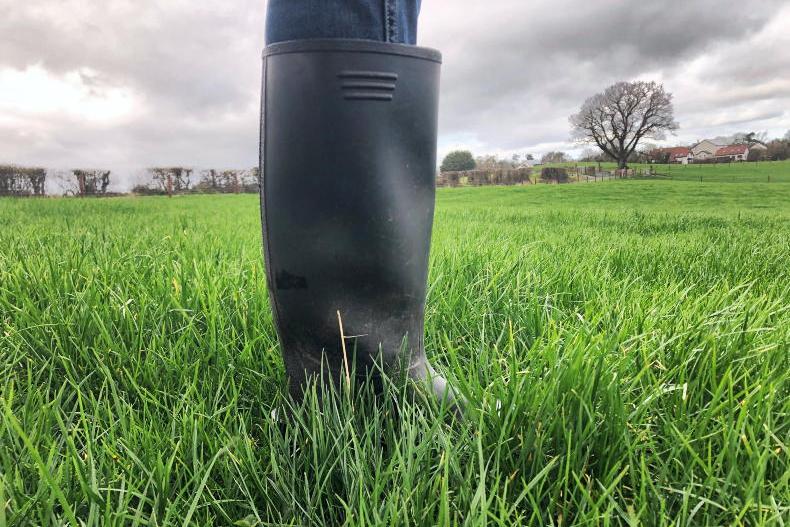
Drying conditions
Drying conditions will be moderate or good through to Monday, with no rainfall expected and prolonged sunny spells.
However, mainly light to moderate winds away from eastern and southern coastal areas will impair drying conditions somewhat.
Poor drying conditions are expected from Tuesday next week, with rain expected later in the day across much of the country.
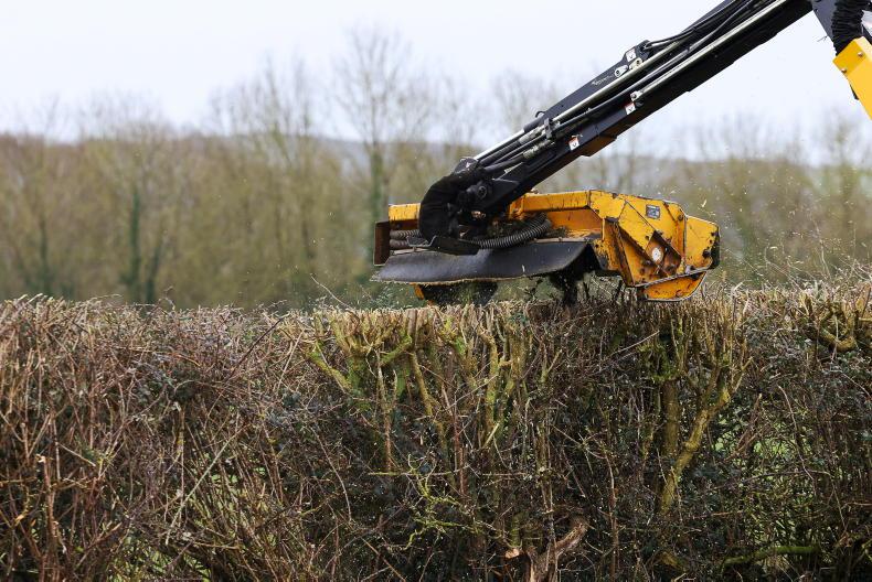
Spraying
Dry conditions and light to moderate winds will present good opportunities for spraying in most areas up until Tuesday.
Field conditions
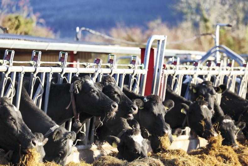
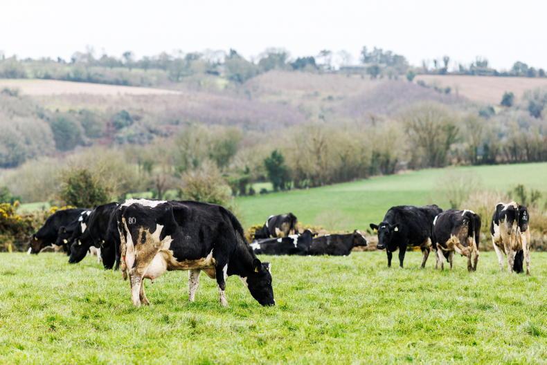
Soils in north Connacht and west Ulster are close to saturation, with some poorly drained soils waterlogged in parts of Connacht.
Soil moisture deficits increase further south, with deficits of around 25mm in southern coastal counties.
With rainfall expected from Tuesday, soil moisture levels are expected to increase thereafter.
Poorly drained soils are expected to become waterlogged across much of the northern half of the country and in the far southwest by the end of next week.
Elsewhere, soils in Munster and south Leinster are still expected to remain below saturation by the end of the week, with soil moisture deficits of up to around 25mm along the south coast.
SHARING OPTIONS