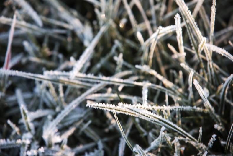
Farmers can expect a reprieve from the changeable weather in the days ahead, with dry spells on the horizon.
Met Éireann has forecast that high pressure will dominate early next week, leaving drier and slightly cooler conditions for farmers to make a burst at field work.
While there will be bands of rain across Leinster and Ulster on Thursday and scattered showers throughout Friday, especially in the southeast, Saturday will be dry for the most part.
Sunday will also be a dry and settled day, with some good sunny spells right across the country, with these conditions set to continue into the early days of next week. It will feel a little cooler, with temperatures in the mid to high teens.
Thursday
According to Met Éireann, Thursday morning will see bands of rain affecting Ulster and parts of Leinster, lingering throughout the morning. However, these will clear across the northeast into the afternoon.
Elsewhere, across Connacht and Munster, there will be some sunny spells with scattered showers moving in from the west and there will be some early morning mist patches.
The showers will continue for the rest of the day and into the night, with the odd heavy one likely.
It will feel more humid, with highest temperatures of 16°C to 21°C, warmest in the parts of south Leinster and across parts of east Munster.
It will remain cooler further north over parts of Ulster and north Leinster.
Thursday night will remain rather cloudy, with scattered showers, some heavy. Mist and fog will develop towards morning in near-calm conditions. Lowest temperatures will range from 9°C to 12°C.
Friday
Met Éireann said that Friday morning will begin with some lingering fog patches, mainly in the northern half of the country. Overnight showers will be quite isolated, concentrated to eastern coasts.
Through the morning, more scattered showers will develop, with heavy falls in places, particularly in the south and east of the country. However, there will be dry and bright intervals around these showers.
The best of the dry weather can be expected in the west and northwest, with a good deal of sunny spells. Highest temperatures will range between 18°C and 20°C, with little wind.

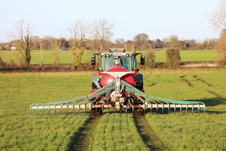
The weather should be favourable for field work early next week. \ Brendan Lynch
By evening, the showers will become more isolated, dying out early in the night before conditions become dry and clear later. Mist and fog may form overnight.
Lowest temperatures will fall to between 9°C and 12°C with light northeast breezes.
Saturday
Saturday will begin with low cloud, mist and fog, particularly over the south and parts of the west. It will be mainly dry with the chance of a light shower developing from the east through the morning and early afternoon.
There will be sunny spells early on and later in the day. The cloud will gradually thin, with better sunshine, especially in the evening. Highest temperatures of between 19°C and 21°C with a light easterly breeze. Overnight will be dry, with lowest temperatures of 9°C to 12°C.
Sunday
Sunday be a rather dry and settled day, with some good sunny spells right across the country, according to Met Éireann.
There will perhaps be a touch more cloud moving in over counties in Connacht and further north across parts of Ulster. However, it will stay mostly dry here too, apart from the very slight chance of the odd light isolated shower along coastal counties.
Highest temperatures will range between 19°C and 20°C in the northwest, but a warmer 20°C to 22°C in the southeast.
Outlook
From Monday to Wednesday, Met Éireann forecasts that high pressure will dominate the weather once again.
However, on Monday, outbreaks of rain will spread across northern counties, but it should stay largely dry elsewhere.
From Tuesday, there will be a return to the dry weather, as high pressure continues to build over the country. This will stay similar again on Wednesday.
It will feel a little cooler to start next week with temperatures in the mid to high teens.
Read more
Time running out for autumn reseeding
Farmers can expect a reprieve from the changeable weather in the days ahead, with dry spells on the horizon.
Met Éireann has forecast that high pressure will dominate early next week, leaving drier and slightly cooler conditions for farmers to make a burst at field work.
While there will be bands of rain across Leinster and Ulster on Thursday and scattered showers throughout Friday, especially in the southeast, Saturday will be dry for the most part.
Sunday will also be a dry and settled day, with some good sunny spells right across the country, with these conditions set to continue into the early days of next week. It will feel a little cooler, with temperatures in the mid to high teens.
Thursday
According to Met Éireann, Thursday morning will see bands of rain affecting Ulster and parts of Leinster, lingering throughout the morning. However, these will clear across the northeast into the afternoon.
Elsewhere, across Connacht and Munster, there will be some sunny spells with scattered showers moving in from the west and there will be some early morning mist patches.
The showers will continue for the rest of the day and into the night, with the odd heavy one likely.
It will feel more humid, with highest temperatures of 16°C to 21°C, warmest in the parts of south Leinster and across parts of east Munster.
It will remain cooler further north over parts of Ulster and north Leinster.
Thursday night will remain rather cloudy, with scattered showers, some heavy. Mist and fog will develop towards morning in near-calm conditions. Lowest temperatures will range from 9°C to 12°C.
Friday
Met Éireann said that Friday morning will begin with some lingering fog patches, mainly in the northern half of the country. Overnight showers will be quite isolated, concentrated to eastern coasts.
Through the morning, more scattered showers will develop, with heavy falls in places, particularly in the south and east of the country. However, there will be dry and bright intervals around these showers.
The best of the dry weather can be expected in the west and northwest, with a good deal of sunny spells. Highest temperatures will range between 18°C and 20°C, with little wind.
The weather should be favourable for field work early next week. \ Brendan Lynch
By evening, the showers will become more isolated, dying out early in the night before conditions become dry and clear later. Mist and fog may form overnight.
Lowest temperatures will fall to between 9°C and 12°C with light northeast breezes.
Saturday
Saturday will begin with low cloud, mist and fog, particularly over the south and parts of the west. It will be mainly dry with the chance of a light shower developing from the east through the morning and early afternoon.
There will be sunny spells early on and later in the day. The cloud will gradually thin, with better sunshine, especially in the evening. Highest temperatures of between 19°C and 21°C with a light easterly breeze. Overnight will be dry, with lowest temperatures of 9°C to 12°C.
Sunday
Sunday be a rather dry and settled day, with some good sunny spells right across the country, according to Met Éireann.
There will perhaps be a touch more cloud moving in over counties in Connacht and further north across parts of Ulster. However, it will stay mostly dry here too, apart from the very slight chance of the odd light isolated shower along coastal counties.
Highest temperatures will range between 19°C and 20°C in the northwest, but a warmer 20°C to 22°C in the southeast.
Outlook
From Monday to Wednesday, Met Éireann forecasts that high pressure will dominate the weather once again.
However, on Monday, outbreaks of rain will spread across northern counties, but it should stay largely dry elsewhere.
From Tuesday, there will be a return to the dry weather, as high pressure continues to build over the country. This will stay similar again on Wednesday.
It will feel a little cooler to start next week with temperatures in the mid to high teens.
Read more
Time running out for autumn reseeding


SHARING OPTIONS