


After storm Doris felled trees, cut power lines and ripped roofs off sheds last Thursday, its successor Ewan brought heavy rainfall to most of the country at the weekend.
Athenry weather station recorded 22mm of rain on Sunday alone. Met Éireann’s rainfall data for February shows a sharp increase in rainfall in the past week, which was enough to bring monthly February figures back in line with usual levels. The exceptionally dry period observed through the winter at all weather stations is well and truly over.
Northwestern stations such as Athenry and Mace Head in Co Galway or Mt Dillon in Co Roscommon received twice as much rain in February as they did in January – notwithstanding the fact that the month was three days shorter.

The pattern observed last autumn has been replicated in recent days, with the south and east coasts escaping the heaviest rain. Stations from Sherkin Island in Co Cork to Dunsany in Co Meath recorded a slightly drier February than usual.
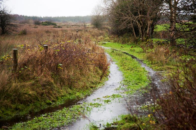
Turning cattle out will not be an option in the short term on many farms, with land becoming waterlogged in the recent heavy downpours.
Wet and windy weather is continuing, with two gale warnings since the start of this week and a forecast for more heavy rain in the coming days. Met Éireann is expecting up to 16mm of rain this Thursday and 19mm on Friday in the southwest.
It will also rain heavily in the west and midlands for these two days, then in the northeast on Saturday, with broken weather dominating the rest of the forecast.


SHARING OPTIONS