

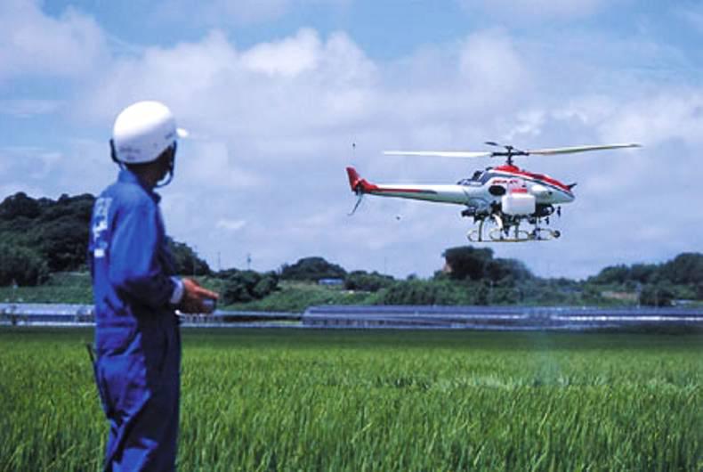
1. How high can an agricultural drone fly?
Drones fly around 50-100m high. You may NOT operate a drone in Ireland higher than 120m vertical or farther than 300m horizontally from your location or within 5km of an airport/aerodrome.
2. Is any special licence/registration required to fly agricultural drones?
No licences are required if you are operating a drone in Ireland for recreational use only, as long as the drone weighs less than 1kg. All drones larger than 1kg in weight must be registered with the Irish Aviation Authority (IAA) and the 1kg weight figure includes all batteries and camera equipment. Recreational use is defined as not receiving any compensation for your operations.
Commercial operations which are defined as operating a UAV for compensation are prohibited without holding an “aerial works permission” and “permission to operate an RPAS in Irish airspace” certificate. Training is normally required.
3. How do I register my drone?
You can register your drone via the IAA website at www.iaa.ie/drones. This is a two-step process. In order to register your drone, you must first register with ASSET, the IAA’s online terrain mapping system. Once done, you will be able to register your drone with the IAA via the ASSET system.
4. I want to use my drone for commercial activities. Do I need permission from the IAA?
You do not need permission from the IAA to use drones commercially. However, if you wish to fly your drone outside the limits prescribed in the regulations you must apply for a specific operating permission from the IAA.
5. Do I need a special qualification to operate a drone?
You do not currently need a qualification to operate a drone provided you do so within the limits set in the Small Unmanned Aircraft (Drones) and Rockets Order, 2015 (SI 563 of 2015). However, the IAA recommends that everybody who intends to operate a drone undertake a course of safety training.
6. Drone insurance in Ireland
Commercial drone operations require acceptable third party liability insurance. Drone insurance is NOT required in Ireland for recreational operations. However, it is highly recommended.
7. What are the best weather conditions to fly a drone over a field?
A drone can fly in almost any weather conditions. Drones are water resistant, but image quality can be damaged if pictures are taken during rainy weather.
8. What distances can agricultural drones fly?
It depends on the drone capability and size. Fixed-wing drones have longer flight time and can cover more fields in one flight. For instance, 50 minutes flight time will cover up to 12 sq km.
9. What makes the difference between images taken by a drone and satellite images?
Drones can take pictures with a resolution down to a few cm per pixel. A drone can get higher quality and higher precision of images in real time as they can fly below the clouds. Besides, a satellite only takes pictures once a week or once a month.
10. What kind of information can farmers get from the images?
Raw data collected by drones gets translated into useful and comprehensible information for farmers thanks to specific algorithms. Some of the information these images provide is:
Drones ensure a permanent monitoring of the crop in the field from planting to harvest.
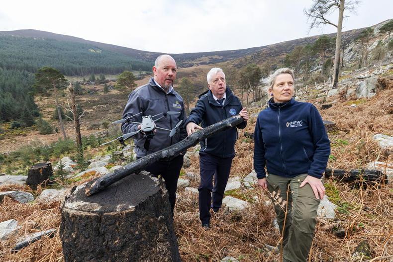
11. What are the main benefits farmers can get from the use of ag drones?
Drones can help farmers to optimise the use of inputs (seed, fertilisers, water), to react more quickly to threats (weeds, pests, fungi), to save time crop scouting (validate treatment/actions taken), to improve variable-rate prescriptions in real time and estimate yield from a field.
12. What are the advantages of combining smart agricultural machinery and agricultural drones?
As of today, drones cannot communicate directly with agricultural equipment. Drones fly over the field and take high-resolution pictures. The data gathered is directly sent to the cloud/software and made available to the customer. Thanks to this data, the user can select the information wanted from the images and make different prescription maps depending on the operation the farmer wants to perform on the field. The maps can then be uploaded on the farm equipment which will adjust the amount of inputs (seeds, fertilisers, pesticides) that would need to be applied in the field accordingly.
13. What are the expectations for this market to grow in the coming years?
It is expected that the use of drones will grow significantly in farming as they offer a wide range of applications to improve precision agriculture.
14. How much does an agricultural drone cost?
A standard drone for public use starts at €1,300. In the agricultural sector, small drones without specific technology can go from €2,000 to €3,000. The cost of higher technological drones used specifically for agriculture start at €20,000.
Irish drone training companies
iFly Technology, 8A Sea Court, Newcastle, Co Wicklow, Tel: 01-969 6699/086-192 9030. Email: info@iflytechnology.com. Website: www.iflytechnology.com
SkyTec UAS Ireland Ltd, National Maritime College of Ireland, Ringaskiddy, Co Cork. Tel: 021-433 5704/087-270 6848. Email: steveslade@skytecireland.com. Website: www.skytechireland.com
RPAS Training International, Weston Airport, Leixlip, Co Kildare. Tel: 01-621 7333/086-275 3336. Email: julie.garland@rti.ie.
Iris Sky Systems Limited, Irish Military War Museum, Starinagh, Collon, Co Meath. Tel: 041-68 62786/086-824 3402.Email: wayne@irisskystems.ie. Website: www.irisskystems.ie
SHARING OPTIONS