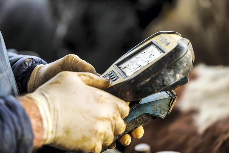
The Department of Agriculture has confirmed that it is updating its mapping and imagery systems.
The new version of the land parcel identification system (LPIS) “will give a more accurate reflection of the land parcel boundaries that are used across a range of Department schemes,” a statement reads.
Phased basis
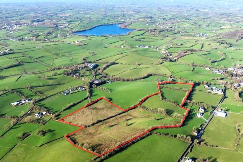
The technology is being used for County Louth from January 2019.
It will be rolled out across the rest of the country on a phased basis.
It is based on the most up-to-date Ordnance Survey Ireland maps, which were launched in 2015.
All land parcels moving to the new LPIS have been renumbered
“A comprehensive communication campaign is currently being rolled out by the Department to ensure that farmers, agents and farm bodies are informed of the changeover to the new system,” a spokesperson for the Department said.
All land parcels moving to the new LPIS have been renumbered as part of the changeover to the new system.
Land parcels with administrative boundaries that are not associated with a real-world feature on the ground, such as a hedgerow or a road, will be merged into a single parcel from 2019.
And land parcels with rivers or roads cutting across them will be split into separate parcels.
If there is a reduction in your eligible area as a result of the new LPIS, the Department will reduce the claimed area to match the new eligible area, avoiding an overclaim.
There will be information meetings in Louth over the coming weeks for farmers immediately affected.
The direct payments helpdesk can be contacted on 076-104420.
Read more
Farm inspections: penalties surge 60%
Eye in the sky authorised to replace on-farm checks
The Department of Agriculture has confirmed that it is updating its mapping and imagery systems.
The new version of the land parcel identification system (LPIS) “will give a more accurate reflection of the land parcel boundaries that are used across a range of Department schemes,” a statement reads.
Phased basis
The technology is being used for County Louth from January 2019.
It will be rolled out across the rest of the country on a phased basis.
It is based on the most up-to-date Ordnance Survey Ireland maps, which were launched in 2015.
All land parcels moving to the new LPIS have been renumbered
“A comprehensive communication campaign is currently being rolled out by the Department to ensure that farmers, agents and farm bodies are informed of the changeover to the new system,” a spokesperson for the Department said.
All land parcels moving to the new LPIS have been renumbered as part of the changeover to the new system.
Land parcels with administrative boundaries that are not associated with a real-world feature on the ground, such as a hedgerow or a road, will be merged into a single parcel from 2019.
And land parcels with rivers or roads cutting across them will be split into separate parcels.
If there is a reduction in your eligible area as a result of the new LPIS, the Department will reduce the claimed area to match the new eligible area, avoiding an overclaim.
There will be information meetings in Louth over the coming weeks for farmers immediately affected.
The direct payments helpdesk can be contacted on 076-104420.
Read more
Farm inspections: penalties surge 60%
Eye in the sky authorised to replace on-farm checks


SHARING OPTIONS