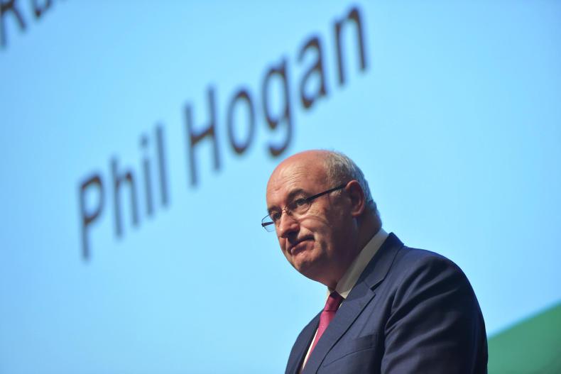
Satellite monitoring of land parcels could replace most on-the-spot checks, the Commissioner for Agriculture told the European Parliament agricultural committee on Monday night.
“New technology can significantly reduce the number of field inspections,” Hogan said. “Already, paying agencies are using free-of-charge data from the Sentinel satellites of the EU-funded Copernicus programme.”
Copernicus is a European Union programme aimed at developing European information services based on satellite earth observation.
The European Space Agency has launched a €500,000 tender, Sen4CAP, which will provide useful knowledge on further possibilities of using Sentinel’s satellite data in the context of the CAP.
The SEN4CAP project will be developed with DG-Agri, DG-JRC, DG-Grow and in particular with a selected number of national paying agencies.
“Together with DG CNECT, DG-Agri proposes to launch a Large Scale Pilot for digital solutions and e-tools to modernise the CAP,” Hogan said.
“A consortium composed of national administrations will be supported to develop a model of a possible future IACS, which should not only allow member states to manage CAP payments but also provide for agri-environmental-climatic data.”
Hogan told the parliament’s agricultural committee that we will not necessarily have to wait for the new CAP before using these new technologies.
Read more
Agricultural drone market worth $32bn globally
How space can help farms produce an extra 70% in output


SHARING OPTIONS