

It will continue very cold until noon on Sunday with severe frosts at night and ice on untreated surfaces.
The frost and ice will linger in some inland counties throughout Friday. Most areas will be dry with sunny spells, but a few wintry flurries are possible, mainly in northern and eastern coastal areas. Maximum afternoon temperatures ranging 2°C to 5°C at best. Winds will back northerly during the day and moderate a little.
Very cold overnight with widespread severe frost and ice. It will be mostly dry with long clear spells but scattered snow flurries will move in across parts of Ulster and north Connacht during the night. Minimum temperatures of -1°C to -5°C in light or moderate northwest breezes.
Saturday
Frost and ice will gradually clear from most areas on Saturday to leave a bright day with a mix of cloud and sunshine. Much of the country will hold dry but there will be a few showers, mainly in the southwest, west and north where some may be wintry.
Maximum afternoon temperatures of 3°C to 7°C in mostly light westerly or variable breezes.
Another cold and frosty night with icy stretches on untreated surfaces. Dry for much of the night but cloud will build from the west later and patchy rain will move in from the Atlantic to affect western counties.
The rain will spread eastwards, reaching the east coast by around dawn and may be preceded by snow in places. Lowest temperatures of 0°C to -3°C in moderate southwest breezes.
Sunday
Patchy rain and sleet will clear eastwards on Sunday morning to leave sunny spells during the afternoon. Highest temperatures of 6°C to 9°C in moderate southwest winds. A spell of rain will move in from the Atlantic overnight accompanied by strengthening southerly winds. Lowest temperatures of 2°C to 6°C, coldest in north Ulster.
Monday
Wet and windy on Monday morning with outbreaks of rain clearing eastwards. Bright spells and scattered showers will follow in the afternoon. Highest temperatures of 6°C to 10°C in fresh to strong westerly winds, veering northwest later. It looks set to be dry overnight with long clear spells but rather cold with frost and ice forming. Minimum temperatures of +2°C to -2°C.
It is expected to remain rather unsettled with low pressure systems moving in from the Atlantic bringing rain at times into next week. Temperatures will be close to or above the seasonal average.
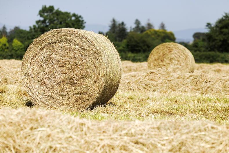
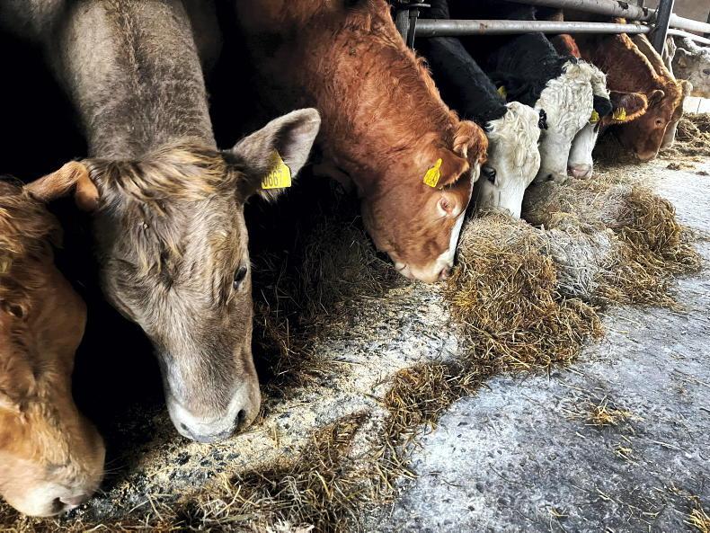
In beef, Adam Woods takes a look at risks associated with feeding frozen forage crops, Tullamore Farm slurry test results and previews upcoming Irish Farmers Journal mart events around the country.
In dairy, Aidan Brennan looks at the impact the weather will have on getting grass grazed in February, and what can be done to counteract it.
This week's sheep notes take a look at scanning results, hygiene, colostrum and the return date for the national sheep census.
And in tillage, the cold looks set to halt crop growth. In the near term, we will quickly find ourselves in mid-February and in the height of the nitrogen season for winter rape and barley in particular.
SHARING OPTIONS