

After a mild night with scattered showers this Friday, Saturday will be another warm day with highest temperatures between 17°C and 22°C.
Met Éireann is forecasting a mostly dry day with a mix of cloud and hazy sunshine, but showers will linger along Atlantic coasts in the morning and move in from the Irish Sea in the east in the evening.
It will be mild and more humid on Saturday night, with some showers becoming heavy and thunder, especially in the southern half of the country.
Temperatures are expected to rise another notch on Sunday, ranging from 18°C to 23°C and warmest in the centre and north. Some early showers will die out during the day before returning to the east at night, with a risk of thunder.
The outlook for early next week is for temperatures to increase further into the low to mid-twenties in dry, sunny weather with occasional thundery showers, mostly in the south.
For tillage farmers, the improvement in weather conditions means that virtually all cereal planting is complete, but attention turns to crop protection with aphids evident on spring crops and septoria on winter wheat canoplies.
Grass growth has shot up on some sheep farms, but others are still struggling with supplies. Darren Carty has advice for either situation.
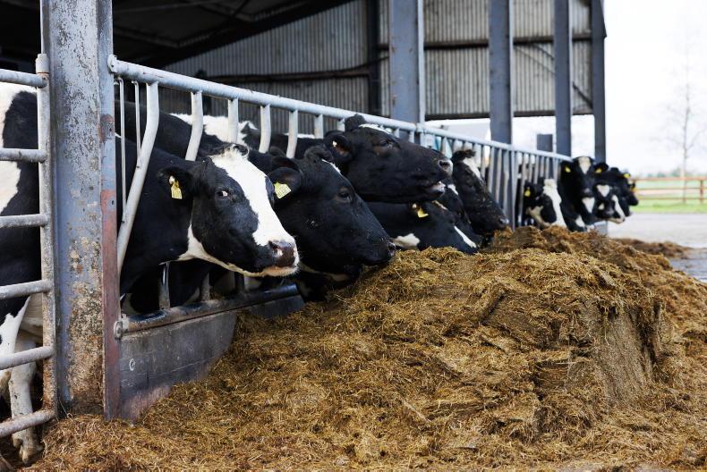
The weather means dairy farmers can turn their attention to silage cutting and reseeding. Aidan Brennan has tips to deal with the aftermath of the difficult spring when tackling these jobs.
On beef farms, bulls targeting a 16-month finish are coming close to slaughter and Adam Woods looks at the important last stretch before they hit the factory, while warning of the risk of unwanted pregnancies in weanling heifers.


SHARING OPTIONS