Monday
Monday will be dry day with light easterly breezes, according to Met Éireann.
While many areas will enjoy spells of spring sunshine, it will stay cloudier across southern counties.
Overnight mist and fog will generally lift during the morning. Highest temperatures will range from 8°C to 12°C.
It will be cold and mostly clear on Monday night, with lowest temperatures of -1°C to +2°C. A touch of frost is likely, along with mist patches.
Tuesday
Tuesday looks set to be a fully dry day with good spells of spring sunshine, though possibly cloudier across the north. Highest temperatures will range from 8°C to 12°C. It will be coolest along eastern counties, in light to moderate easterly breezes.
On Tuesday night it will be generally dry under broken cloud, though some showery rain may move into Leinster and east Munster later. Lowest temperatures will range from -1°C to +2°C in light easterly breezes.
Wednesday
Some stray showers are possible across Leinster, though most other areas will stay dry with a mix of sunshine and cloud across the country.
Highest temperatures will range from 7°C to 12°C, coolest in the north and northeast counties, in just light northeast breezes.
It is forecast to be dry with frost and fog on Tuesday night. Lowest temperatures will range from 0°C to 4°C.
Thursday and Friday
Met Éireann is forecasting duller and cooler days everywhere. Though it will be mostly dry, some patchy drizzle may occur. Highest temperatures will range from 6°C to 9°C, in light northeast breezes.
Rain
A very wet spell up to last Tuesday saw southern counties receive accumulations of up to two or three times the weekly norm for February.
Northern and eastern counties fared somewhat better, with rainfall around average for the week overall.
A very dry week is forecast for the week ahead. Most areas will receive little or no rainfall, generally below 5mm for all areas.
Temperatures
Mean air temperatures over the past seven days have been above average nationwide by around 1°C to 3°C generally.
The week ahead will see high pressure dominate, bringing fairly mild days out to Wednesday but with cold nights and some frost. It will become colder from Thursday, with daytime temperatures ranging 5°C to 7°C and sharp frosts at night.
Sunshine
Sunshine amounts were above average in the past week. It was sunniest in the north and northwest, with 36 hours recorded in Donegal. It was dullest at Valentia, with 18 hours of sunshine.
The week ahead will see above average sunshine totals owing to the prevalence of high pressure. Mist and fog may be stubborn to clear some mornings, but overall sunshine values will be higher than normal.
Drying conditions
After poor drying conditions in recent weeks, drying will improve over the coming week with good spells of sunshine expected, particularly tomorrow and early next week, with fairly mild temperatures by day out to Wednesday.
However, winds will be mostly light, bringing a limiting factor to drying.
Spraying
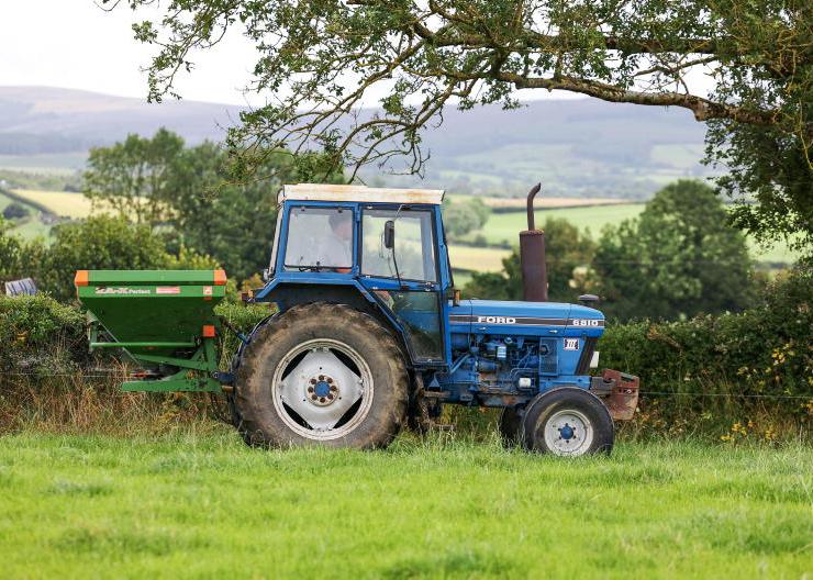
There will be opportunities for spraying on most days owing to the arrival of high pressure bringing generally dry weather and light winds.
Field conditions
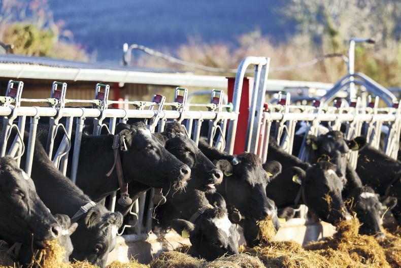
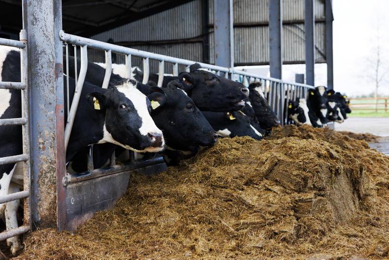
Soils are generally saturated or waterlogged. A gradual improvement in soil conditions and trafficability is expected over the next week as high pressure builds, bringing well below average rainfall amounts and good sunshine at times. However, drying will be slow.
Poorly drained soils will remain saturated by the end of next week but well-drained and moderately drained soils will have a soil moisture deficit of 5mm to 10mm.
Read more
Newford Farm: first cattle turned out to grass on Wednesday
In pictures: 10 family farming photos to make you smile
Monday
Monday will be dry day with light easterly breezes, according to Met Éireann.
While many areas will enjoy spells of spring sunshine, it will stay cloudier across southern counties.
Overnight mist and fog will generally lift during the morning. Highest temperatures will range from 8°C to 12°C.
It will be cold and mostly clear on Monday night, with lowest temperatures of -1°C to +2°C. A touch of frost is likely, along with mist patches.
Tuesday
Tuesday looks set to be a fully dry day with good spells of spring sunshine, though possibly cloudier across the north. Highest temperatures will range from 8°C to 12°C. It will be coolest along eastern counties, in light to moderate easterly breezes.
On Tuesday night it will be generally dry under broken cloud, though some showery rain may move into Leinster and east Munster later. Lowest temperatures will range from -1°C to +2°C in light easterly breezes.
Wednesday
Some stray showers are possible across Leinster, though most other areas will stay dry with a mix of sunshine and cloud across the country.
Highest temperatures will range from 7°C to 12°C, coolest in the north and northeast counties, in just light northeast breezes.
It is forecast to be dry with frost and fog on Tuesday night. Lowest temperatures will range from 0°C to 4°C.
Thursday and Friday
Met Éireann is forecasting duller and cooler days everywhere. Though it will be mostly dry, some patchy drizzle may occur. Highest temperatures will range from 6°C to 9°C, in light northeast breezes.
Rain
A very wet spell up to last Tuesday saw southern counties receive accumulations of up to two or three times the weekly norm for February.
Northern and eastern counties fared somewhat better, with rainfall around average for the week overall.
A very dry week is forecast for the week ahead. Most areas will receive little or no rainfall, generally below 5mm for all areas.
Temperatures
Mean air temperatures over the past seven days have been above average nationwide by around 1°C to 3°C generally.
The week ahead will see high pressure dominate, bringing fairly mild days out to Wednesday but with cold nights and some frost. It will become colder from Thursday, with daytime temperatures ranging 5°C to 7°C and sharp frosts at night.
Sunshine
Sunshine amounts were above average in the past week. It was sunniest in the north and northwest, with 36 hours recorded in Donegal. It was dullest at Valentia, with 18 hours of sunshine.
The week ahead will see above average sunshine totals owing to the prevalence of high pressure. Mist and fog may be stubborn to clear some mornings, but overall sunshine values will be higher than normal.
Drying conditions
After poor drying conditions in recent weeks, drying will improve over the coming week with good spells of sunshine expected, particularly tomorrow and early next week, with fairly mild temperatures by day out to Wednesday.
However, winds will be mostly light, bringing a limiting factor to drying.
Spraying
There will be opportunities for spraying on most days owing to the arrival of high pressure bringing generally dry weather and light winds.
Field conditions
Soils are generally saturated or waterlogged. A gradual improvement in soil conditions and trafficability is expected over the next week as high pressure builds, bringing well below average rainfall amounts and good sunshine at times. However, drying will be slow.
Poorly drained soils will remain saturated by the end of next week but well-drained and moderately drained soils will have a soil moisture deficit of 5mm to 10mm.
Read more
Newford Farm: first cattle turned out to grass on Wednesday
In pictures: 10 family farming photos to make you smile


SHARING OPTIONS