

Laser imaging, detection and ranging (lidar) and multi-spectral imaging was carried out on the Footprint Farms over the past few months as part of the Teagasc Signpost programme.
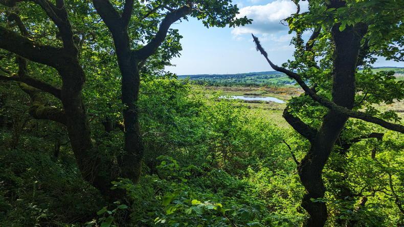
Lidar allows us to calculate carbon stock in hedgerows and trees, while mapping out woody habitats allows us to better estimate farm level net emissions.
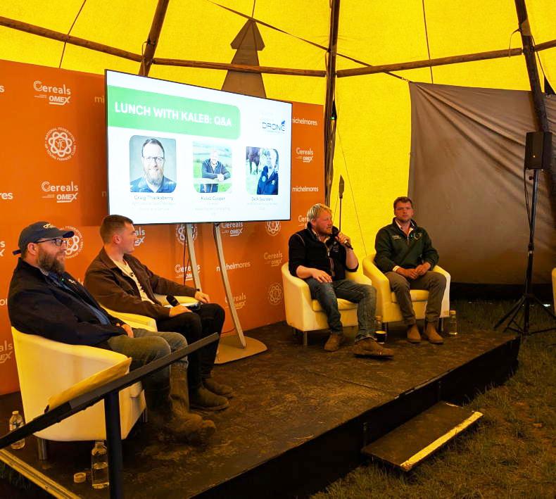
Lidar surveying was carried out with a drone, which prompted the question - can drones improve the sustainability of Irish farms?
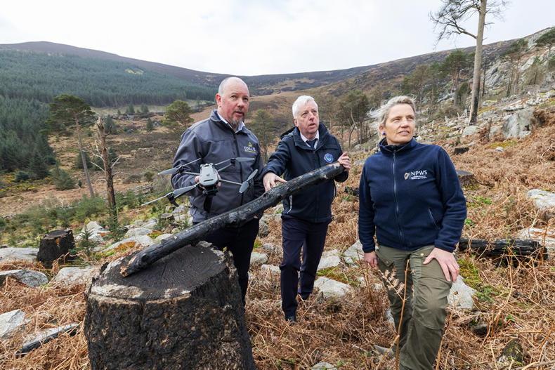
Bob Foley of Engineers with Drones was tasked with carrying out this work and said that by using a drone to carry out this task, he can cover up to 550 acres in a day, something which could not be achieved if a plane was used instead.
Bob’s drone allowed him to carry out lidar on two of the Footprint Farms. The remainder will be covered by the end of the year.
End product
The end product of lidar is a point cloud, which can be used to generate a green earth model, which allows us to measure how much vegetation there is in habitats on farms and how diverse the land is.
Because lidar can accurately measure physical characteristics, it can be used to estimate the carbon stored in the hedgerows and trees.
Basically, lidar will tell us the above- and below-ground carbon stored in the hedgerows and trees, but not the sequestration rates.
It can also be used to show drainage patterns on the farm, which can help farmers pinpoint areas susceptible to pollution.
Measuring chlorophyll
Drones can also be used to capture multi-spectral imaging. By using different spectrums and dividing them, chlorophyll in plants can be measured, as well as how much drought stress the plant is under.
This is where precision agriculture has an important role, as this information can be then plugged into a precision agriculture system, which can then correct it, which will improve crop yields and performance in an efficient manner.
In comparison with a satellite image, a drone delivers more up-to-date information and, therefore, much greater precision regarding, for example, what fertilisers may be needed.
Not only are drones useful on farms when it comes to mapping and imaging, but with high fuel costs, they can also be an efficient way of checking or herding stock, especially in hill areas, or even carrying out tasks such as checking fencing.
SHARING OPTIONS