



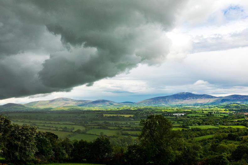
The World Meteorological Organisation (WMO) has said there is an “exceptionally high likelihood of nearly 100%” that El Niño will persist from now through to February 2027, according to its forecasts.
El Niño is a climate phenomenon which refers to unusually warm surface waters in the central and eastern Pacific sea, according to the WMO.
It typically occurs every two to seven years and lasts around nine to 12 months.
El Niño events affect temperature and rainfall patterns in different regions and typically has a warming effect on the global climate.
It can have big impacts on rainfall, temperature patterns and associated risks of floods, drought and extreme heat.
It’s a natural climate phenomenon and is not caused by climate change. However, it can amplify the associated impacts of climate change.
The strength of an El Niño event alone does not determine how severe its impacts will be in any individual region, as its effects vary according to location and season and can be modified by other climate drivers.
Weather effects
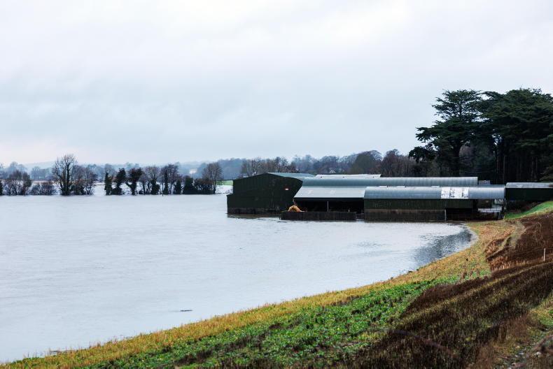
The event is associated with increased rainfall and flooding in parts of South America, east Africa and the southern United States; drought conditions in eastern and northern Australia, Indonesia, southern Africa and parts of South Asia due to suppressed monsoon activity; and reduced Atlantic hurricane activity.
El Niño is expected to strengthen further during the coming months to a very strong intensity before peaking towards the end of this year, with climate impacts continuing well into 2027.
“El Niño in Spanish means boy child, but it has the potential to deliver a massive blow to communities and economies across the world. We are already seeing disruption and devastation from droughts and floods and we expect these impacts to increase as El Niño intensifies,” WMO secretary-general Celeste Saulo commented.
“This exceptional El Niño demands exceptional preparation and response. Never before in the 50-year history of the World Meteorological Organization have we launched such a major mobilisation with national meteorological and hydrological services who are on the frontline of delivering the forecasts and services to save lives and livelihoods.”
“Sea surface temperatures are rising, temperatures keep climbing and the world is in the danger zone of extreme weather. The race now is between rising risks and our commitment to take climate action and protect people. We must win that race,” UN secretary-general António Guterres stated.
While confidence is now high that the current El Niño event will be strong, the WMO is not predicting that specific extreme weather events will occur, climatologist with Met Éireann Paul Moore told the Irish Farmers Journal.
Rather, it highlights that the likelihood of certain weather and climate extremes has increased in some regions.
El Niño has clear impacts on many regions worldwide. However, he said its direct influence on Ireland is comparatively weak and indirect.
However, he said that El Niño does have the potential to influence other global climate drivers, which can in turn affect weather patterns in northwest Europe.
These drivers can help to understand what may occur in terms of higher or lower likelihood of certain weather patterns emerging over a season, but there is a wide range of possible outcomes, even if a higher likelihood of one possibility emerges in the seasonal outlook.
Indian Ocean Dipole
The Indian Ocean Dipole (IOD) is an example of a global climate driver that is influenced by El Niño, Moore said.
A positive IOD is expected to develop this autumn and early winter, which can increase the likelihood of wetter and windier conditions for northwest Europe, but it doesn’t guarantee it.
The national forecaster has assured that its forecasting systems continuously monitor and incorporate the full range of factors influencing Irish weather, including any effects associated with El Niño, ensuring that forecasts reflect the latest available information.
Met Éireann has said the seasonal forecast for the coming months is showing a higher likelihood of wetter and windier conditions in late autumn and early winter, with above-average temperatures and more unsettled weather.
Should severe or extreme weather conditions be forecast, Met Éireann will issue the appropriate warnings and communications through established channels.



SHARING OPTIONS