

On Saturday, any early rain in the east will clear and the day will see a mix of bright spells and scattered showers. Most of the showers will be in the northern half of the country, where some will be heavy. Much of the southern half of the country will stay largely dry and any showers will become isolated in the evening. Temperatures will range from 14°C in the northwest to 19°C in the east and southeast. Winds will be mostly moderate westerly, but fresh and gusty in western and southern coastal areas.
Saturday night
Cloud will increase, with patchy rain and drizzle spreading from the Atlantic and low temperatures of 9°C to 11°C. Light to moderate southwest winds will back southerly overnight and freshen along southwest coasts.
Sunday
It will be cloudy, with patchy outbreaks of light rain and drizzle, but becoming drier by evening, with some late brightness developing for southern areas. There will be highs of 15°C to 20°C in mostly moderate southwesterly winds, fresh at times near coasts. Most places will be dry on Sunday night, with a mix of cloud and clear spells. Cloudy and misty conditions will develop along Atlantic coasts, with patchy drizzle there by morning. Low temperatures will range from 10°C to 13°C.
Monday
Many eastern areas will start dry on Monday, with the best of the sunshine in parts of east Munster and south Leinster. Cloudy, humid conditions with patchy outbreaks of rain and drizzle affecting Atlantic coastal counties will spread over much of the country during the afternoon. Temperatures will vary from the high teens in the western and northern areas into the low 20s for parts of the south and east. Southwesterly winds will be fresh in the north.
Tuesday
There is marked uncertainty in Tuesday's forecast at this stage, but current guidance suggests cloudier skies in the west, with some rain at times, and spells of sunshine indicated over eastern and southern areas. Temperatures again will range from the high teens into the low 20s.
Further outlook
Generally high pressure is signalled to the south, with lower pressures further north. This scenario implies reasonably settled weather conditions in the south and east, and generally more changeable conditions in the north and west.
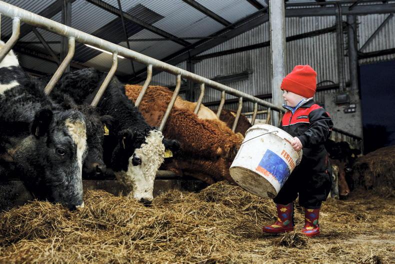
Adam Woods takes a look at slurry safety, grazing quality and preventing mastitis in this week's beef management notes.
In our dairy management notes, Aidan Brennan looks at how many bulls you need to cover cows, alternative feed sources and farmyard maintenance.
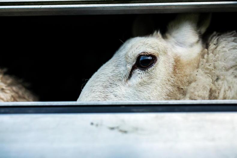
This week's sheep notes cover selection of flock replacements, drafting lambs, management of yearling hoggets and Sheep 2018 Farm to Fork.
The long spell of largely dry warm weather has been good for growth but the dryness has brought its own problems for tillage farmers.


SHARING OPTIONS