

Showers will start to affect the south and east coast from early on, becoming more widespread throughout the day. It will be another cold day, with temperatures of four to seven degrees, though it won’t be as cold in the south.
The east and north will have showers of rain tonight, but it will be mainly dry elsewhere. There will be a touch of frost in the south and lowest temperatures one to four.
Despite a dry start to Saturday morning, showers in coastal regions will become more widespread during the day and some will merge into longer spells of rain which will be heavy at times. There is a risk of frost tomorrow night and the rain will continue, with occasionally heavy showers on the east coast. There will possibly be some sleet or snow on high ground and temperatures will stay just above freezing.
The cold conditions will continue for Sunday, but the rain will lessen, becoming light and patchy. Showers may affect east and north coasts throughout the day.
Next week
It will be a cold and frosty start to the week, with temperatures unchanged at five or six degrees. There will be some showers on Tuesday from the west in freshening southerly winds.
The cold conditions will continue throughout the week. However, drier weather will follow for Wednesday.
Management notes
Nathan Tuffy looks at the options for farmers with slatted tanks filling up and the need for supplementation where turnout is delayed.
Now that calving season has started, there will be lots of milk produced over the next few weeks that cannot be sold due to being within the withdrawal period for dry cow therapy. Aidan Brennan discusses the best options for storing.
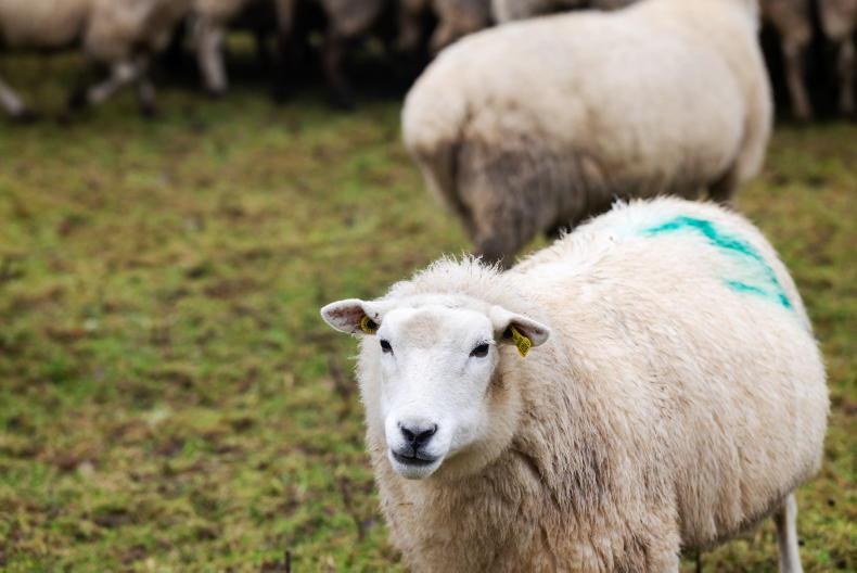
In the sheep management notes, Darren Carty offers advice on getting through the current weather difficulties. Listeriosis and lambing aids are also covered.
Despite the wet land continuing to prevent most field operations, Andy Doyle writes why it’s important to remain alert as opportunities to get ploughing, spreading and planting done may occur.


SHARING OPTIONS