Monday is forecast to be warm and mostly dry to start, but cloud will increase through the afternoon with scattered showers in the south and west and just isolated showers elsewhere. Highest temperatures will range between 20°C and 23°C in light to moderate southerly breezes.
Met Éireann has said there will be a few showers on Monday night and it will be mild with lowest temperatures of 11°C to 15°C in light southerly or variable breezes.
Tuesday
Scattered showers are forecast on Tuesday with the odd heavy one and some bright or sunny spells. Top temperatures will range from 19°C to 22°C in light to moderate southwesterly breezes.
These showers will become isolated on Tuesday night and cloudier conditions look set to prevail with outbreaks of rain spreading into Atlantic coastal counties towards morning.
It will stay mild with lowest temperatures around 11°C to 14°C in light southwest to westerly breezes backing southerly towards morning, Met Éireann said.
Wednesday
Wednesday is forecast to be a cloudy day with rain in the west spreading gradually further eastwards during the day in a moderate southerly breeze, fresh and gusty along Atlantic coasts.
Met Éireann has said that the rain will turn persistent in the afternoon and evening, especially in the west and northwest. Top temperatures will range from 18°C to 21°C, the coolest of which will be in the northwest.
On Wednesday night rain will clear eastwards to isolated showers and some clear spells.
Thursday
Thursday looks set to see some sunny spells and scattered showers, some heavy or prolonged in the north. Top temperatures will be around 17°C to 20°C in a moderate westerly breeze. The showers will become isolated on Thursday night.
Friday
Current indications from Met Éireann suggest that Friday is likely to continue unsettled with scattered showers and top temperatures in the high teens.
Read more
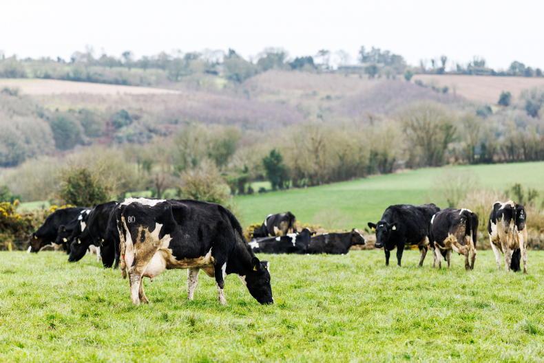
Newford Farm: counting on rain to boost grass growth
Five tips for grass finishing cattle
Grass+: varying impacts from moisture deficits
Monday is forecast to be warm and mostly dry to start, but cloud will increase through the afternoon with scattered showers in the south and west and just isolated showers elsewhere. Highest temperatures will range between 20°C and 23°C in light to moderate southerly breezes.
Met Éireann has said there will be a few showers on Monday night and it will be mild with lowest temperatures of 11°C to 15°C in light southerly or variable breezes.
Tuesday
Scattered showers are forecast on Tuesday with the odd heavy one and some bright or sunny spells. Top temperatures will range from 19°C to 22°C in light to moderate southwesterly breezes.
These showers will become isolated on Tuesday night and cloudier conditions look set to prevail with outbreaks of rain spreading into Atlantic coastal counties towards morning.
It will stay mild with lowest temperatures around 11°C to 14°C in light southwest to westerly breezes backing southerly towards morning, Met Éireann said.
Wednesday
Wednesday is forecast to be a cloudy day with rain in the west spreading gradually further eastwards during the day in a moderate southerly breeze, fresh and gusty along Atlantic coasts.
Met Éireann has said that the rain will turn persistent in the afternoon and evening, especially in the west and northwest. Top temperatures will range from 18°C to 21°C, the coolest of which will be in the northwest.
On Wednesday night rain will clear eastwards to isolated showers and some clear spells.
Thursday
Thursday looks set to see some sunny spells and scattered showers, some heavy or prolonged in the north. Top temperatures will be around 17°C to 20°C in a moderate westerly breeze. The showers will become isolated on Thursday night.
Friday
Current indications from Met Éireann suggest that Friday is likely to continue unsettled with scattered showers and top temperatures in the high teens.
Read more
Newford Farm: counting on rain to boost grass growth
Five tips for grass finishing cattle
Grass+: varying impacts from moisture deficits


SHARING OPTIONS