Cloudy weather with patches of mist, drizzle and fog will continue through Monday and Tuesday, with maximum temperatures in the low teens and no frost at night.
Wednesday will be wetter and milder, with persistent rain spreading from the west and up to 13°C during the day in fresh to strong southerly winds.
This will change radically overnight, with bitter cold from Thursday onwards and highest temperatures of 3°C to 6°C and frosty nights. Thursday and Friday are forecast to bring sunny spells and showers of rain, sleet and snow.
Saturday will be mostly dry, but westerly winds turning southerly are expected to bring in rain at night that could turn to snow for a time as it meets the cold air. This will usher in a wet Sunday with showers of rain or sleet.
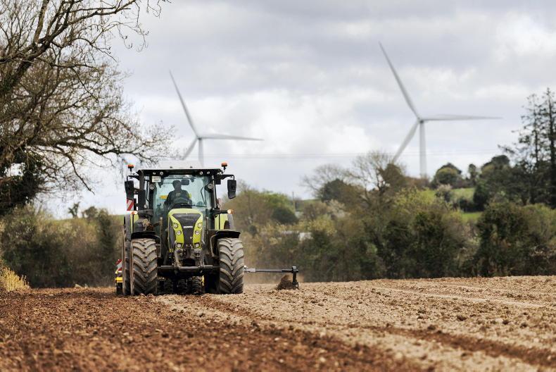
The country is again divided between east and west, with higher than normal rainfall along Atlantic coasts and drier than seasonal weather in the east. Met Éireann reports that all soils are at field capacity presently, with some waterlogging. However many grounds are trafficable.
Although there will be strong variations as highlighted above, air and soil temperatures are forecast to be slightly higher than normal this week.
Sunshine values are expected to drop this week, especially compared with last week's brighter than normal weather.
Monday to Wednesday offer the best drying and spraying conditions, with wind, cold and rain coming in from mid-week.
Read more
90% of farmers report a fodder shortfall of 35%
Top tips for feeding late-season silage
Cloudy weather with patches of mist, drizzle and fog will continue through Monday and Tuesday, with maximum temperatures in the low teens and no frost at night.
Wednesday will be wetter and milder, with persistent rain spreading from the west and up to 13°C during the day in fresh to strong southerly winds.
This will change radically overnight, with bitter cold from Thursday onwards and highest temperatures of 3°C to 6°C and frosty nights. Thursday and Friday are forecast to bring sunny spells and showers of rain, sleet and snow.
Saturday will be mostly dry, but westerly winds turning southerly are expected to bring in rain at night that could turn to snow for a time as it meets the cold air. This will usher in a wet Sunday with showers of rain or sleet.
The country is again divided between east and west, with higher than normal rainfall along Atlantic coasts and drier than seasonal weather in the east. Met Éireann reports that all soils are at field capacity presently, with some waterlogging. However many grounds are trafficable.
Although there will be strong variations as highlighted above, air and soil temperatures are forecast to be slightly higher than normal this week.
Sunshine values are expected to drop this week, especially compared with last week's brighter than normal weather.
Monday to Wednesday offer the best drying and spraying conditions, with wind, cold and rain coming in from mid-week.
Read more
90% of farmers report a fodder shortfall of 35%
Top tips for feeding late-season silage


SHARING OPTIONS