

Monday
Today, Monday, will be cool, breezy and showery. Met Éireann are predicting showers to become widespread through the late morning and continue through the day. Temperatures will reach 14°C to 17°C and the higher temperatures will be in the southeast of the country.
Monday night will be cool with a few passing showers still around and overnight lows of 4°C to 7°C.
Tuesday
Many areas will stay dry with some good sunny spells and just isolated showers on Tuesday. The southwest will be affected by the odd heavy shower. Feeling fresh across the northern half of the country in moderate northerly breezes. Afternoon highs of 11°C to 15°C.
Tuesday night will be chilly with overnight lows of 3°C to 6°C. Under clear and calm conditions some grass frost may set in.
Wednesday
It will start out largely dry on Wednesday with light southwest breezes and good sunshine across the eastern half of the country. However, it will soon cloud over with patchy outbreaks of drizzle moving in off the Atlantic and more general falls of rain later in the afternoon. There will be some prolonged or heavy falls across the north and west later in the evening. Highest temperatures of 13°C to 16°C.
Wednesday night is forecast to be cloudy with further outbreaks of rain. Lows of 6°C to 12°C.
Thursday
Thursday will see scattered falls of rain through the day, heaviest across the west to begin and later across the northern half of the country, where it may turn persistent. Highest temperatures will range 13°C to 19°C, mildest, driest and brightest across southeast Munster and south Leinster.
Friday
Early indications are that Friday will see a few scattered showers, but overall dry with sunny spells and moderate southwest breezes. Feeling very mild or even warm with highs of 16°C to 21°C.
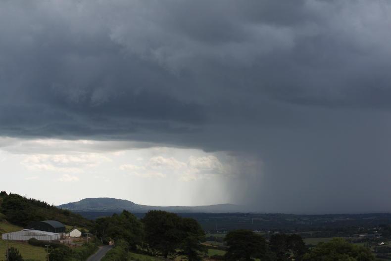
Rain
Over the past seven days rainfall amounts were well below average across the country. For the most parts amounts were below 20% of average. However, across the north rainfall totals came in higher with 30% to 70% of the usual rainfall recorded here.
With an Atlantic regime dominating the next seven days, rainfall amounts are expected to be above average in most places, with parts of the northwest expecting around 30mm. Amounts will be below average along southern and eastern coasts.
Temperatures
Mean temperatures have ranged close to the seasonal norm over the last week with just the northern coast a little below average. This equates to a mean temperature of between 10°C and 12°C degrees.
From Sunday, temperatures will dip below average for the first half of the week but warmer weather is indicated for later in the week.
Sunshine
For the past week, sunshine amounts were above near or just above average in Munster, ranging from 100% to 120%. It was also sunnier than normal in the north of Ulster. However, it was duller than normal in most other areas, especially across north Leinster with just 50% to 60% of the usual sunshine here.
Drying and spraying conditions
Drying conditions will vary over the coming week and will be poor at times. Spraying opportunities will be moderate or limited with mixed conditions.
Field conditions
Soil moisture deficits are above 40mm to 55mm over parts of Munster and Connacht. Elsewhere soil moisture deficits are around 30mm to 35mm. Over the next week, they will decrease somewhat as the weather becomes more changeable.


SHARING OPTIONS