

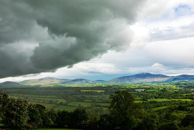
Rain is forecast in parts on Saturday and Sunday, with a chance of isolated thunderstorms on Sunday afternoon according to Met Éireann.
There is a chance of some patchy rain on Thursday moving into southwestern fringes during the afternoon. Temperatures ranging from 15°C in the east and northeast to 24°C in the mid-west, in moderate to fresh easterly winds. Thursday night will be mild, with mostly dry and clear though cloudier in parts of the southwest and west with a continued chance of patchy rain for southwestern fringes. Temperatures will stay a bit higher 9 to 13°C in the southwest with cloudier and more humid conditions.
Friday will be dry however, cloud will encroach at times in the south and west with a few showers developing. Highest temperatures will range from 19 to 24°C, possibly reaching 25°C in parts of the west. It will remain dry for most of Friday night but there is a chance of a few showery outbreaks of rain pushing in over southern parts, most likely towards morning.
Lowest temperatures after dark between 11 to 16°C are forecast, mildest over the southern half of the country, in light, occasionally moderate, easterly breezes.
There will be a warm and muggy start to Saturday with the best of the sunny spells in the morning.
Showery outbreaks of rain in the south in the morning will gradually extend northwards through the day, turning heavy at times. Met Éireann is forecasting total rainfall for 24 hours with 10mm expected to fall in the west. Highest temperatures of 19 to 25°C, again warmest in the west. Saturday night the rain will clear north-eastwards but a few showers will linger.
Sunday will start with a good deal of cloud, with limited sunny spells and scattered showers bringing with it the chance of isolated thunderstorms. Another warm and humid day with highest temperatures of 19 to 25°C with light to moderate southerly winds gradually veer westerly. Generally dry overnight though a few isolated showers can’t be ruled out.

SHARING OPTIONS