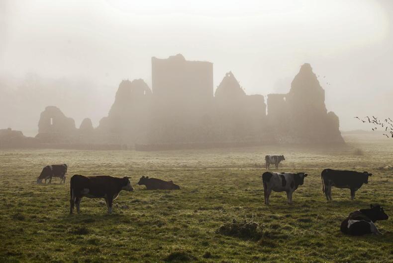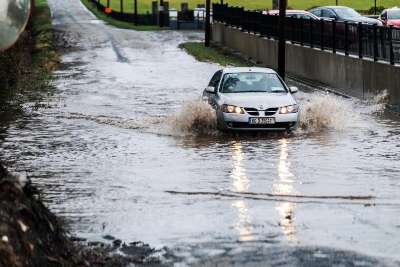

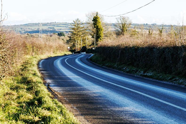
It will be a cold and frosty start to Friday, with icy patches in places, national forecaster Met Éireann has said.
This frost will clear gradually, making way for a dry, bright day.
As the day goes on, cloud will emerge from the west bringing some isolated showers, mainly in the north and northwest.
Highest temperatures on Friday will be between 5°C and 9°C in light variable breezes.
Friday night will be mostly dry with some clear spells.
Throughout the night, cloud will continue to move in from the west with rain and drizzle developing along the coast.
Frost will develop in the midlands and east, with lowest temperatures of -1°C to 4°C.
Saturday
Saturday will be mostly cloudy and dry, but rain will develop in the west and south.
It will be milder than Friday, with temperatures of 8°C to 11°C.
More persistent rain will arrive on Saturday night, spreading from the west, with lowest temperatures of 5°C to 8°C.
Sunday
Sunday is set to be a wet day, with rain right across the country.
Highest temperatures of 6°C to 9°C are expected over the northern half of the country, and a slightly warmer 9°C to 12°C further south.
Rain will clear to the east on Sunday night, with lowest temperatures of 1°C to 5°C.
Outlook
Monday is forecast to be dry but cold while rain is expected on Tuesday and Wednesday.
Beef
In this week’s beef notes, Martin Merrick discusses getting the timing of vaccinations right for early calving cows, being cautious with having sufficient grass for 2027 and meeting genotyping requirements for SCEP.
Dairy
In the dairy notes, Brendan Horan writes about the necessity to keep grass for spring, checking winter feed levels and Dairy Day 2026.
Sheep
Darren Carty discusses early gestation feeding, closing paddocks and selling lambs in the sheep notes.
Tillage
In the tillage section, Siobhán Walsh looks at how farmers can make the most of the dry weather.