

Friday began cold and frosty, with Met Éireann’s yellow warning for snow and ice remaining in place until 12pm.
Scattered snow showers will continue, with highest accumulations expected in Ulster and northwest Connacht.
Cloud will thicken in the southwest later on Friday afternoon. The day’s top temperatures in most areas will be 3-6°C generally. Moderate to fresh and gusty westerly winds will be strong to near gale force along Atlantic coasts.
Rain and drizzle will develop in the southwest early Friday night, spreading northeastwards to affect much of the country overnight and reaching the southern fringes of Ulster by dawn.
Saturday
Saturday will be mostly cloudy and misty, with scattered outbreaks of rain and drizzle and fog lingering in places. The best of any bright or sunny spells will be over north Ulster and southwest Munster. A spell of more persistent rain will start to push into southwest Munster by evening, however.
Weekend
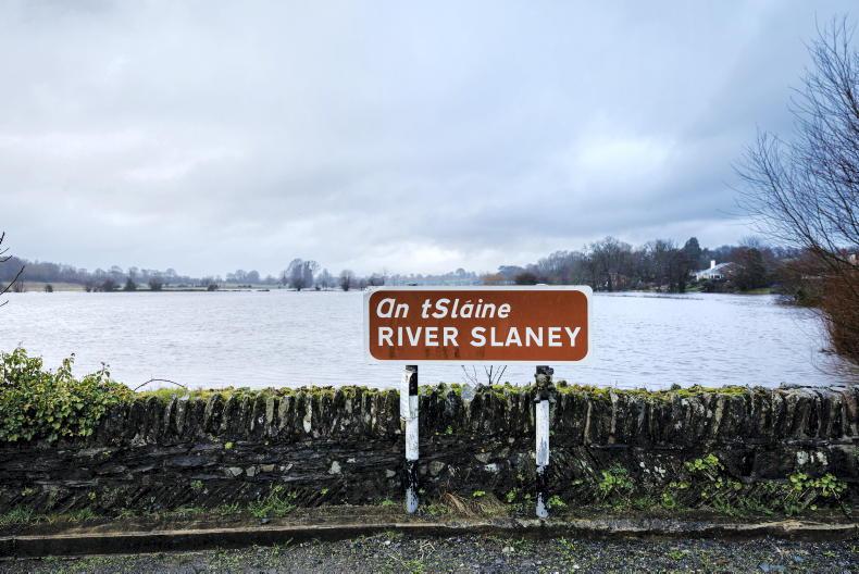
Heavy and persistent rain will spread northeastwards over the country on Saturday night, bringing a risk of spot flooding by Sunday morning.
Sunday will be very wet in some parts, with the risk of spot flooding. The rain will gradually clear northeastwards by the afternoon, with scattered showers following. It will be mild, with day time temperatures of 10 to 13°C.
Outlook
At this stage, Monday looks to be a mostly dry day with variable cloud and sunshine. Tuesday looks set to be increasingly breezy in a strengthening southwesterly airflow and potentially mild for the time of year as a result.
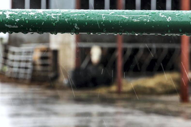
Beef
Adam Woods takes a look at all things calving and the importance of colostrum.
Sheep
Darren Carty looks at feeding levels for early lambing ewes and preparations for lambing.
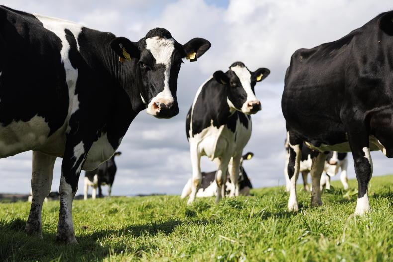
Dairy
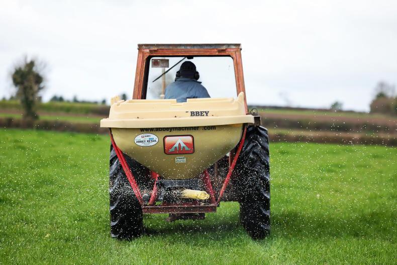
Aidan Brennan looks at managing slurry, fertiliser, milking machines and weanling heifer weights.
Tillage
Andy Doyle tackles the office and workshop jobs that should be addressed while farmers wait for the weather to improve.

SHARING OPTIONS